India is a diverse country, not just culturally but geographically too. Here are some interesting facts and figures about the geography of our country:

India
India

Geographical Area – With an area of 3,287,240 sqkm, India is the seventh largest country in the world by area and 2nd largest by population.

Coldest Place – Dras, located in the Kargil district of Jammu & Kashmir, is the coldest place in India. It is situated at a height of approximately 11,000 feet.

Easternmost Point – The tiny town of Kibithu in Arunachal Pradesh is the easternmost point of India. The Lohit River enters India from Kibithu.

Westernmost Point – The westernmost point of India is the small inhabited village of Ghuar Moti, located in the Kutch District of Gujarat.

Rann of Kutch in Gujarat

Situated 45 kms south east of Bhopal in the Indian state of Madhya Pradesh, the Rock Shelters of Bhimbetka are a UNESCO World Heritage Site, and lie within the Vindhyan Hills. These enormous rock formations are gathered around the Bhimbetka Hill and the entire area is rich with flora and fauna, recurrent supplies of water and natural shelter. It is due to the presence of all these factors that a sustainable society was able to develop and flourish here.

Painting depicting a war scene

With some of its shelters even occupied by the Homo erectus more than 100,000 years ago, the Bhimbetka Rock Shelters are from the Paleolithic era, displaying the oldest traces of human life on the Indian Sub-Continent and marking the beginning of the South Asian Stone Age. The name Bhimbetka itself means the “resting place of Bhīma” and is believed to have come from Bhīma, from the epic Mahabharata. As per the skeletons found, the humans of that time were around 7 feet tall.

This painting depicts the everyday lifestyle of those people

These rock shelters were first cited in the Indian archaeological records in 1888 as a Buddhist site, based on the information obtained from the local tribes. In the 1950s, Indian archaeologist V. S. Wakankar discovered these sites while on a train journey to Bhopal and found some of the rock formations to be alike those he had come across in France and Spain. Further studies by Wakankar and his team in 1957 led to a discovery of various prehistoric rock shelters.

A seasonal salt marsh situated in the Thar Desert, the Great Rann of Kutch covers 7,505 square miles in area. It spans between the Kutch district of Gujarat in India and the Sindh province of Pakistan and its northern boundary forms the International Border between the two countries. It is said to be one of the biggest salt deserts in the world. The Tropic of Cancer passes a few miles from the Rann of Kutch.

The Rann of Kutch
The Rann of Kutch

Due to it being a marshy area, Rann of Kutch makes for a breeding ground for large flocks of flamingos and also provides shelter to wild animals including the Indian wild ass.

Even though the marsh is in a protected area, it is still susceptible to losing its natural resources to grazing and salt extraction. To keep the flora and fauna preserved, various Wildlife Sanctuaries and wildlife conservation areas have been set up. Indian Wild Ass Sanctuary, Kutch Bustard Sanctuary, Narayan Sarovar Sanctuary, Banni Grasslands Reserve, Kutch Desert Wildlife Sanctuary are a few of those and are approachable from the city of Bhuj.

RANN UTSAV

White salt desert speckled with an array of colors, distinctive shades of tradition and culture, a plethora of festivities all around!

The best ride in the beautiful salt desert.
The best ride in the beautiful salt desert

Days are filled with a display of bright shades and designs in the form of the beautiful costumes the locals wear, from the women dressed in the most gorgeous of lehangas and arms adorned with silver bangles to turbaned men in either loin cloths or short skirts, this is a sight that will find a place in your heart and rest there forever. Evenings bring a multitude of colors as the sun sets followed by a star-lit sky – the stuff that dreams are made of! The heart melting notes of the Surando make the experience mystical.

India is home to some of the most diverse landscapes from mountains, valleys to forests, deserts and beaches. This diversity in topography attracts people from all over the world in every season to experience India in her many colors. India boasts some of the most beautiful valleys like the extremely popular Nubra in Ladakh or the verdant Dibang Valley in the north-eastern state of Arunachal Pradesh. Come explore these with us.

  1. Nubra Valley, Ladakh, Jammu & Kashmir
    Believed to be originally called Ldumra meaning the Valley of Flowers, Nubra is located to the north east of Ladakh Valley, approximately 150 kms from Leh. The meeting of Nubra and Shyok (tributary of Indus) Rivers forms a large valley, separating the Karakoram and Ladakh Ranges. This valley can be reached by travelling over the Khardung La from Leh. The average altitude of Nubra is roughly 10,000 feet above sea level.
    An array of colors at Nubra Valley
    An array of colors at Nubra Valley Image Credits: wikipedia.org


  2. Spiti Valley, Himachal Pradesh
    Located high in the north eastern part of Himachal Pradesh, Spiti Valley is situated between Tibet and India. It is a desert mountain valley and is one of the least populated regions of the country. It is a part of Lahaul and Spiti district and is home to similar Buddhist culture as found in Tibet and Ladakh. Kunzum La at 4,590 meters separates Lahaul from Spiti. The entire valley is surrounded by high mountain ranges. Heavy snowfalls cut off the valley from the rest of the country for almost 2-3 months from November to January every year.
    The ever-welcoming Spiti Valley
    The ever-welcoming Spiti Valley Image Credits: wikipedia.org


  3. Dzukou Valley, Nagaland
    Considered to be one of the most beautiful places in Nagaland, the Dzukou Valley is just ideal for easy to moderate trekking. Dzukou means Cold Water which comes from the cold streams of water that flow through the valley. It is known for its flora and fauna and particularly seasonal flowers like Dzukou Lily found only in this area. It sits at 8339 feet above sea level behind the Japfu Peak at the border between Manipur and Nagaland.

The world around us is full of awe-inspiring and seemingly magical phenomenon. From stones sailing on dried mud to flowers blooming in the middle of a desert, there are many such fascinating occurrences that baffle our mind and compel us to take notice. Here are a few of such phenomenon from different parts of the world:

Flowering desert – Every few years, the barren desert of Atacama in Chile is bathed in the most beautiful colors of pink, purple and white amongst others when flowers bloom here. It happens due to a climatic process when unusually high rainfall leads to the water reaching the seeds and bulbs otherwise latent or dormant. This takes place between September and November.

The Atacama Desert in full bloom Image Credits: Wikipedia.org
The Atacama Desert in full bloom
Image Credits: Wikipedia.org

Pororoca – Literally meaning ‘Great Roar’, Pororoca is a tidal bore that travels as far as 500 miles inland upstream on the Amazon River. It occurs when the tides of the Atlantic Ocean meet these roaring waves at the mouth of the Amazon River. These waves, that get as high as 4meters, are getting increasingly popular with surfers. The best time to witness this phenomenon is February and March.

Roaring Pororoca Image Credits: Wikipedia.org
Roaring Pororoca
Image Credits: Wikipedia.org

I’m going to be honest when I say that I had no idea what my father was getting me into. I had heard him talk about this project called Planet Harmony for really long and I knew he was really enthusiastic about it.

The Gang!
The Gang!

The plan was to get students (ages 15 – 18) and their teachers, from disturbed areas of India and to buddy them with a student from the National Capital region with whom they would stay for a few days. Students and teachers were coming from Shillong, Kashmir, Manipur and Chhattisgarh. My buddy’s name was Sonia and she was from Manipur. When I went to pick her up from the airport the first day, as soon as I met her, I knew we would both get along well. The first day we watched a movie and got to know each other. The second day we met all the other participants and went sightseeing in Delhi.

Team bonding
Team bonding

The day after that is when the real journey began. We all went to a camp called Camp Panther for ten days which is situated near the River Ganga in the Himalayas in Rishikesh.  Thirty two of us students, our five teachers and the staff of Planet Harmony headed to the camp. The train ride was very enjoyable as everyone had already started bonding. We were all singing and having a lot of fun. The next ten days went in a jiffy. We did a lot of outdoor sports such a trekking, rafting and zip lining. I feel everyone enjoyed those activities immensely.

Hot air balloon was the first human carrying flight technology in the world. It is an extremely popular form of soft adventure in many parts of the world and catching up in India too. Places like Jaipur  in Rajasthan and Lonavala  in Maharashtra offer great hot air ballooning opportunities.

Hot Air Ballooning in Rajasthan India

Here are some really interesting facts about this leisure activity:

  1. A Sheep, duck and rooster were the first passengers aboard a Hot Air Balloon flight! It was decided to let animals be the test subjects in order to see the effects of the flight. Sheep was chosen to test the effects of high altitude on a land animal and the birds to act as controls in the experiment, owing to their ability to fly.
  2. In many parts of the world, passengers are served Champagne post a Hot Air Balloon ride. It is a long standing tradition said to have originated in France.
    The first balloonists had apparently carried a bottle of champagne with them to toast after the flight. But upon landing, they were attacked by local farmers for polluting their fields with smoke. To dissuade them, they offered them champagne and even though the smoke problem ended with time, this tradition caught on and has stayed till date!

Bugyal, when literally translated, means meadow. A Bugyal is high altitude grassland that makes for an excellent grazing ground. These Bugyals remain covered with snow in the winter months but come to life with colors at the advent of summer season. Here are some of the most beautiful Bugyals in the state of Uttarakhand in India –

1. Bedni Bugyal – Situated at the border of Garhwal and Kumaon in the Chamoli district of Uttarakhand, Bedni Bugyal offers the majestic views of the Trishul Parbat. It is situated at an altitude of 11,000 feet. The trek to Bedni starts from Loharjung and is ranked easy on the difficulty level, since one mostly passes through villages to reach this lush meadow. On route to Bedni, Wan is the last village that you cross; it is also the last point where you could get accommodation.

The Refreshing Bedni Bugyal

Bedni Bugyal is a part of the Roopkund Trek itinerary too. So to witness the verdancy of this meadow, you could either choose the easy trek to Bedni or go further up to Roopkund which is at a height of 15,600 feet.The route to Bedni Bugyal is through exquisitely beautiful forests of rhododendron and oak. It is a perfect campsite and the Bedni Kund offers the most riveting reflection of the Trishul Peak.

2. Dayara Bugyal – Dayara Bugyal is a full-fledged 7 days trek that again is rated easy. At an altitude of 12,000 feet, Dayara is easily among the top 2 most beautiful high altitude meadows in the Himalayas. It is breathtakingly serene and looks like the most ideal setting for a fairytale. It can be reached from Haridwar via Barsu, and Barnala meadows are where Dayara begins. It is a moderate 5 kms trek from Barnala to Dayara through dense forests.

Machu Picchu, a name the whole world is familiar with today, was not known to mankind a century ago. Spirit of adventure, curiosity and the quest for the unknown led to its discovery in 1911, when a party of three chanced upon it while looking for the legendary lost city of Vilcabamba. The leader of this party was Hiram Bingham.

Machu Picchu
Machu Picchu

Bingham was born in Honolulu, Hawaii on 19th November, 1875 to a family of missionaries. However, he found his true calling in history and archaeology, especially Latin American History and that motivated him to pursue his doctorate in the same field and take many trips to South America. His 1911 expedition, as mentioned above, was to seek out the Incas’ last capital, Vilcabamba, which was believed to have been the last refuge of the defeated king Manco Inca II in 1536, when he had fled after being defeated by the Spanish conquistador Francisco Pizarro. There was a lot of speculation about the location of this city to be somewhere in the valleys of the Vilcabamba and Urubamba River.

Hiram Bingham
Hiram Bingham
Image Credits: wikipedia.org

On the morning of 23rd July, 1911, along with his companion Sergeant Carrasco, a Peruvian soldier, Bingham left Cuzco to explore the Urubamba valley. They spent the night camping near the river and while there, they were approached by a local farmer named Melchor Arteaga who informed them of the presence of some ancient ruins high up in the mountains. The next morning, 24th July, the 3 set out to explore and find out what these ruins were. They all advanced slowly, making their way across a wobbly bridge that traversed just above the rapids. Fighting the rain, they scrambled up the path, sometimes on all fours owing to its steepness. After about an hour or so, they were above the tree line and the view below took their breath away. Little did they know that something even more spectacular awaited them above.

As they moved further up, they found that the Native Americans farmed on an ancient terrace cleared of the jungle. They discovered more terraces and mazes of sorts, consisting of stone houses made of white granite blocks fitted together with clean, mortar-less joints, sitting 4000 feet above the Urubamba River. Accidentally, they had found an abandoned citadel/fortress that was to become the most celebrated ruin in South America and one of the most visited sites in the world.

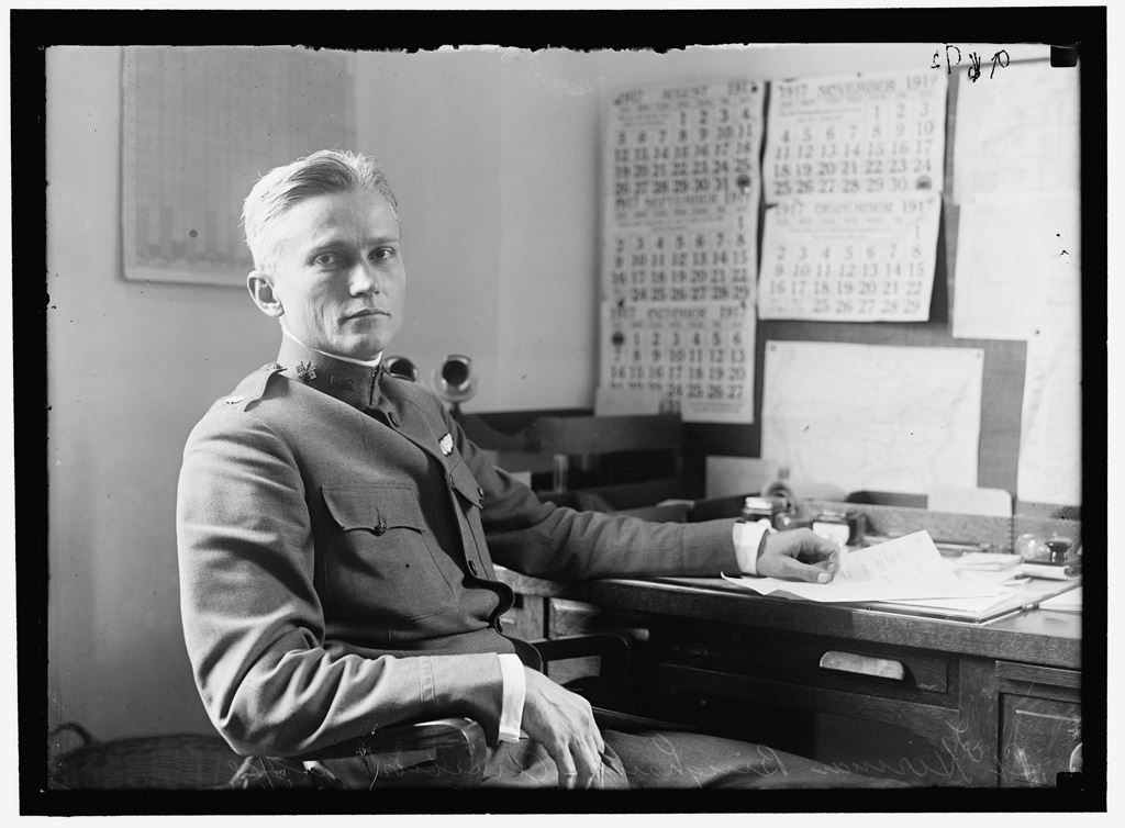
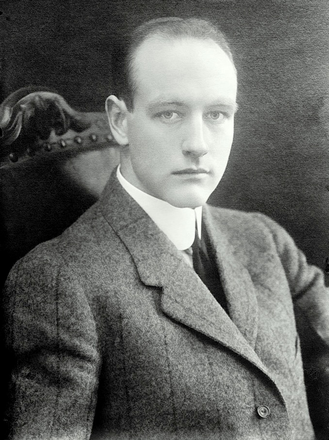
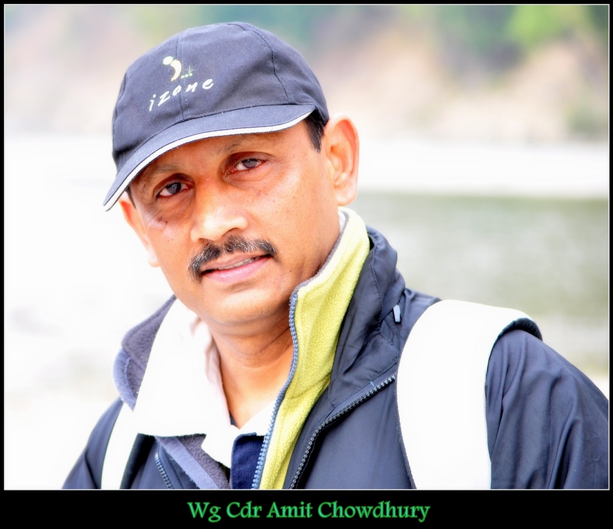
Born on 17th January 1959, , Wg Cdr Amit Chowdhury, VSM (Retd), developed an interest in adventure activities when he joined Jadavpur University in 1976 and went for a rock climbing course at Susunia Hills in West Bengal. Very soon he was climbing in the crags of Bankura and Purulia and pioneering some new routes in these areas. Besides doing a few trekking routes, he attended the Mountaineering Courses at HMI Darjeeling.

He went on to lead the very successful expedition to Mt. Jogin in Garhwal in 1980. In that expedition he climbed the hitherto virgin Mt. Jogin II. More interesting, however, was that the team managed to bag all three Jogin peaks (I, II and III), something that has never been done since then.

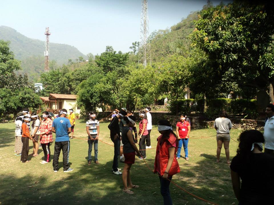
This marked the beginning of a very exciting and fulfilling adventure career. He trail-blazed several expeditions with the Jadavpur University Mountaineering and Hiking Club (JUMHC) and later after passing out and getting commissioned in the Indian Air Force in 1982. He went on to lead several expeditions from JUMHC and even mentored Baldev Kanwar who later went on to climb Everest and get the National Adventure Award.

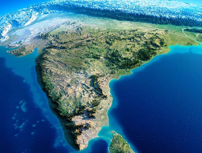
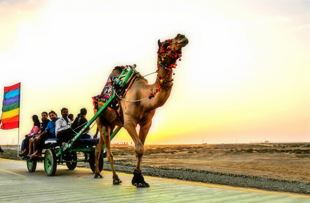
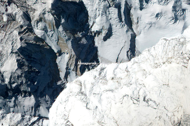
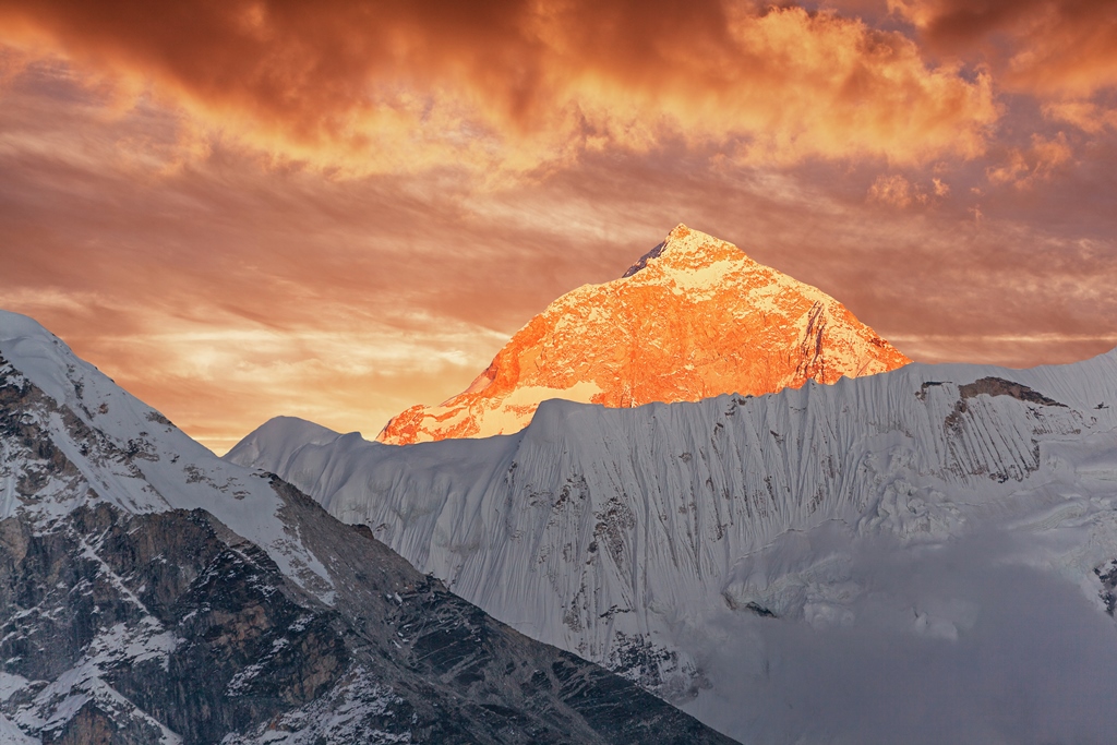
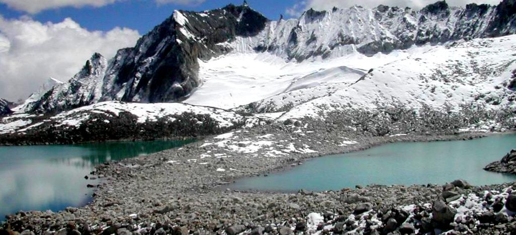
Amit climbed extensively in the Himalayas to peaks such as Kamet (7756 m), Satopanth (7075 m), Jaonli (6632 m), Kedar Dome (6831m),  and several other 5000 and 6000 m peaks such as Sudarshan Parbat, Deo Tibba, CB-53, CB-54, Manali, Ladakhi and Shitidhar. He has trekked and climbed in Nepal, French Alps, Avon and Dorset in England and the Caucasus mountains in Russia from 2010 to 2014.

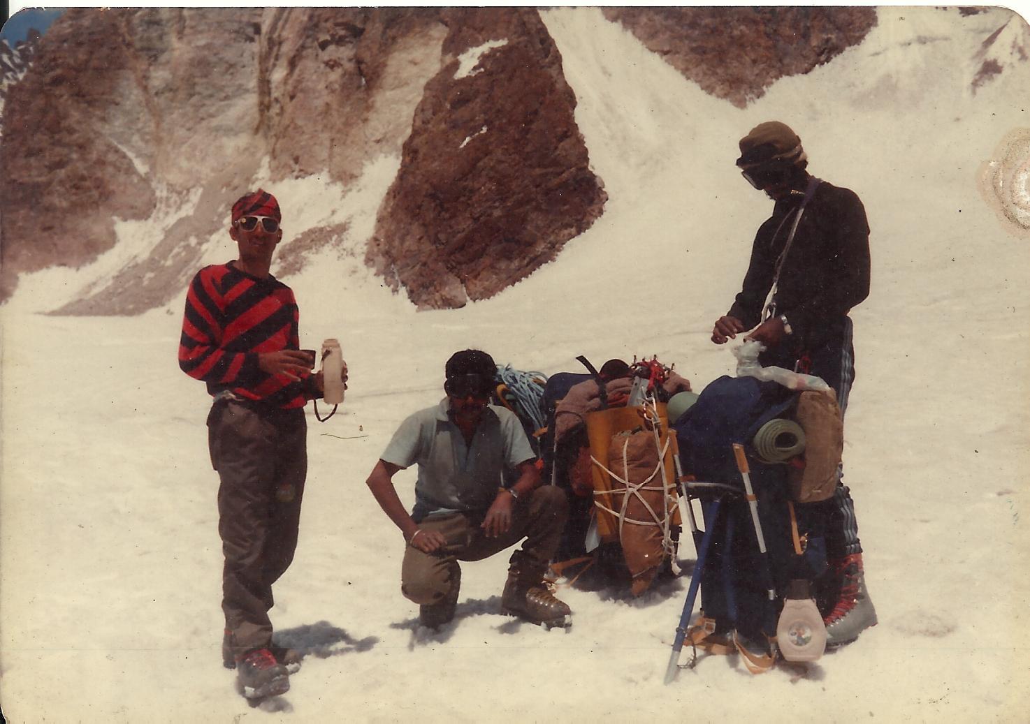
After he got commissioned in the IAF, Amit earned his para wings and took to Skydiving. He was one of the chief organisers of the 1st National Skydiving Championship. Besides Skydiving he was also active in the IAF Mountaineering Expeditions and went on to participate in mountaineering expeditions to Mt Satopanth, Mt Kamet from the West route, which was a joint expedition with the Royal Air Force. On this expedition, he was involved in the rescue of three colleagues from the top of the ridge which involved some 4000 feet of climbing on rock and ice. It took 16 hours to carry out this rescue.

Click here to book your trek with us.

Nestled between Nepal, Tibet, Bhutan and West Bengal, the landlocked state of Sikkim is the least populated in India. This quaint destination was once an independent Buddhist Kingdom and Buddhist Saint Padmasambhva is said to have passed through this region in the 8th century AD. Sikkim became the 22nd state of Indian Union in 1975.

Owing to its location in the Himalayas, Sikkim is one of the most geographically diverse states in the country, with climate ranging from high alpine to subtropical. Its culture, diverse flora and fauna and picturesque locations make it an extremely popular tourist destination.

The Eastern Himalayas situated between Central Nepal in the West to Myanmar in the East pass through Sikkim, making it home to the world’s 3rd highest mountain peak, Kanchenjunga, which is worshipped by the locals as their deity. The presence of this majestic mountain has made Sikkim a favorite among adventure seekers, especially mountaineering, trekking and photography enthusiasts.

William Blake, the great 18th century poet, said that great things happen when men and mountains meet. Almost two centuries later, the world saw that come to life!

World’s highest mountain range, Himalayas, is home to 14 peaks higher than 8,000 meters or eight-thousanders as these are commonly called, and till the first half of the 20th century, all of these were unscaled! While the geographical conditions were a major deterrent, political unrest in India, Pakistan, Nepal and Tibet also proved to be one big hurdle!

Explore: Mount Annapurna Base Camp Trek

Aerial view of the Annapurna Image credits: Wikipedia.org
Aerial view of the Annapurna
Image credits: Wikipedia.org

But all that was about to change! In 1949, the Maharajah of Nepal gave his consent to a climbing party of nine from France to attempt an assault on one (or more than one) of these peaks. The party, led by experienced French Alpinist Maurice Herzog, arrived in Nepal in the spring of 1950 with plans to attempt either the Annapurna (8091 m) or the slightly higher Dhawalgiri (8167 m).

This was a time when not even the local inhabitants had any knowledge of reaching higher up in those mountains through the thick forests and tough terrain speckled with gorges and ridges. Having spent some time probing for routes and backtracking, in April of 1950, Herzog, his climbing partner Louis Lachenal and the rest of the team realized that they needed to make haste if they wished to climb any of those peaks, since the ideal weather conditions would only last till June. So they zeroed in on Annapurna by the north-western glacier, which seemed like the perfect approach at the time. The next difficult step was the setting up of a chain of 3 camps in higher altitudes. The last and highest camp was pitched at 7407 m. It was already June and the threat of monsoon fast approaching was looming over their heads.

Explore: Annapurna Circuit Trek

Lachenal and Herzog Image credits: Wikipedia.org
Lachenal and Herzog
Image credits: Wikipedia.org 

I was born to be an explorer…There was never any decision to make. I couldn’t do anything else and be happy“, said the man whose life is said to be the inspiration behind the creation of Indiana Jones!

Fighting Chinese brigands, braving sandstorms and wild dogs, it was all in a day’s work for Roy Chapman when he decided to go explore the Gobi Desert further up North in to Mongolia to find the origins of humanity.

Roy Chapman Andrews
Image Credits: wikipedia.org

Roy Chapman Andrews was born in Wisconsin, America in 1884 and right from his childhood days his interests revolved around nature, outdoors, animals, history and he explored fields, water bodies and forests. He taught himself taxidermy and made money with this skill to pay for his college tuition. Such was his passion that after being told that there were no openings at the American Museum of Natural History, he started working there as a janitor in the taxidermy department. He continued to learn as he worked and earned a Master’s degree in mammalogy from Columbia University.

An explorer, adventurer and a naturalist, Roy sailed to the East Indies from 1909 – 1910 and collected snakes and lizards. In 1913, he sailed to the Arctic aboard the schooner Adventuress and filmed some of the best footage of seals ever seen!

Expedition Mongolia
Expedition Mongolia
Image Credits: wikipedia.org

Every action when looked at from different perspectives could mean different things! Same can be said for this historical adventure in which a 37 year old Navy Captain and his crew of 116 became the first people ever to complete the first successful submerged voyage around the North Pole.

Let’s start at the beginning! It was the period of Polar Exploration. Many countries and governments had sent their expert teams to the far off lands both North and South of the equator. While there were political agendas, scientific aspirations, and exploration possibilities, there were also the dreams of experiencing the ultimate adventure – being there where no man has set foot before!

On 4th October, 1957 the Soviet Union launched Sputnik – the first artificial Earth Satellite and as expected it brought in new military, scientific and political developments and aspirations. One part of those developments was the Operation Sunshine – a submarine transit of the North Pole, ordered by President Eisenhower in 1958.

Nautilus in the open waters Image credits: Wikipedia.org
Nautilus in the open waters
Image credits: Wikipedia.org

The mission started on 25th April, 1958, when USS Nautilus (SSN – 571), world’s first operational nuclear-powered submarine, commanded by Commander William R. Anderson headed towards the West Coast starting from New London, Connecticut. After stopping at San Diego, San Francisco and Seattle it left Seattle port on 9th June, 1958. An attempt to enter the open waters was made on 19th June, 1958 but it had to be pulled back due to drift ice in the shallow waters. Special Gyrocompass built by Sperry Rand was installed just before the journey began.

Located picturesquely on the banks of River Kaveri, Bheemeshwari is approximately 100 kms from the tech city of Bangalore. It is a perfect weekend getaway for those residing in Bangalore and around. Due to the greenery and the tranquility that it offers, it makes for a great picnic spot for families. But there is more to this place than just picnics.

River Kaveri
River Kaveri

Due to vast verdant spaces, availability of camps and adventure activities like whitewater rafting, trekking, birding, angling, kayaking, camping and coracle ride, it is one of the most visited destinations for corporate off-sites and soft adventures. Click here for an adventure filled trip to Bheemeshwari.

It lies between the Shivasamudra falls and Mekedatu in the Mandya district and is a natural habitat for the Mahseer fish and many other animals. It has many fishing camps that offer accommodation and angling as a leisure and responsible sport where the Mahseer fish are released back into the water.

Bheemeshwari is also extremely popular for its wildlife sanctuary which is located amid natural waterfalls Barachukki, Mekedatu and Gaganachukk. It is an ideal place to go for a wildlife trek and watch wild animals like elephants, deer, wild boars, leopards, otters, crocodiles, monkeys, jackals and birds like ibis, herons, kingfisher and pigmy woodpecker in close quarters.

The gateway to Tons Valley, the quaint and quiet hill station of Mori, noted for its scenic beauty (and its association with Mahabharata folklore), lies on the banks of the River Tons, the biggest tributary of the River Yamuna, and is surrounded by verdant fields of rice and forested hills of pine and deodar (the tallest pine woods in Asia are right here).

Tons River, Mori region

Straddling the states of Uttarakhand and Himachal Pradesh, Mori, and the hamlets around, make for a pleasant cultural retreat and a perfect get-away-from-it-all holiday. Enjoy the serenity, and some fantastic views of the sylvan surrounds.

Of late, Mori has become a very popular destination for those seeking the unique thrills of whitewater rafting. Mori is also ideal for trekking, camping and birding, besides boasting plenty of floras to make nature walks enjoyable.

Nestled amid the Himalayas, Mori lies in the Tons Valley, to the northwest of Garhwal, in Uttarakhand. It is situated at an altitude of 3770ft (1150m). The River Tons has its source towards the peak of Bandarpoonch (20,720ft, 6315m).

While both the Pandavas and Kauravas held sway here, Mori’s residents, uniquely, are adherents of the Kauravas, the famous anti-heroes of the Mahabharata (who follow polygamy). Some also claim to be descendants of the Pandavas. Legend has it that Tons (called the Tamas in ancient times) was formed by the tears of the local folk weeping over the Kauravas’ defeat to the Pandavas in the great epic.

Located in the East Khasi Hills district in the state of Meghalaya, Cherrapunji (officially called Sohra) is often touted as the wettest place on Earth. It holds the world record for the most rainfall in a calendar year (1 August 1960 – 30 July 1861) and month (July 1861). Cherrapunji sits on a plateau rising 600 meters above the surrounding valleys. It receives both northeast and southwest monsoonal winds that give it a single monsoon season and it rains mostly at night. It lies on the downwind side of the Khasi Mountains.

An image of Khasi children captured in 1944 Image Credits: Wikipedia.org
An image of Khasi children captured in 1944
Image Credits: Wikipedia.org

People living in and around Cherrapunji are known as the Khasis. The most interesting and notable characteristic about Khasi people is that they are a matrilineal culture. The husband of the youngest daughter lives with his in-laws and the children take on their mother’s surname.

Cherrapunji is known all over the world not just for the heavy rainfall but also for the very popular living root bridges. The Southern Khasi and Jaintia hills around this town are humid and warm, and on these hills is found a species of Indian rubber tree. This tree has an unbelievably strong root system that has been thriving for many centuries. It also has a secondary root system originating from high up in the trunks. These secondary roots can easily roost atop big boulders or even in the middle of the rivers. A tribe in Meghalaya called the War-Khasis noticed this a long time ago and realized that these strong roots can offer an opportunity and means of easily crossing rivers in many places.

These have come to be known as the Living Root Bridges and one of the most popular one is the Umshiang Double-Decker Root Bridge.

Living root bridge
Umshiang Double – Decker Root Bridge
Image Credits: Wikipedia.org

Here are the top 10 highest mountain peaks in the world.
9 out of these 10 lie in the Himalayas, Mount Everest being the highest in the world.

Mountain Peak

Mountain Range

Height (in feet)

First Ascent

Mount Everest

Mahalangur Himalaya

29,029

1953

K2

Baltoro Karakoram

28,251

1954

Kanchenjunga

Kanchenjunga Himalaya

28,169

1955

Lhotse

Mahalangur Himalaya

27,940

1956

Makalu

Mahalangur Himalaya

27,838

1955

Cho Oyu

Mahalangur Himalaya

26,864

1954

Dhaulagiri I

Dhaulagiri Himalaya

26,795

1960

Manaslu

Manaslu Himalaya

26,781

1956

Nanga Parbat

Nanga Parbat Himalaya

26,660

1953

Annapurna I

Annapurna Himalaya

26,545

1950

Mount Everest
Mount Everest – 29,029 feet
K2
K2 – 28,251 feet
Kanchenjunga
Kanchenjunga – 28,169 feet

Lhotse
Lhotse – 27,940 feet
Makalu
Makalu – 27,838 feet

The most difficult in Bhutan and one of the most difficult in the world, Snowman Trek is only for seasoned trekkers. It has been named so for the 6 mountains above 23,000 feet that the trek passes beneath. The first and the foremost requirement is to be fit, physically and mentally. It takes one through Lunana, one of the remotest regions of Bhutan. It starts from Paro valley in Western Bhutan and passes along the Bhutan – Tibet border ending at Sephu Village in Central Bhutan.

Snowman Trek Route
Snowman Trek Route
Image Credits: alpineascents.com

Owing to its high altitude, long distance and difficult terrain, this trek is right on top on the difficulty level scale and takes 25-30 days to complete. Roughly 2 days are required for acclimatization. The expedition crosses 11 high passes including Nye La, Gobu La, Jare La and Shinge La. 9 of these passes are over 15,000 feet.

Sun Temple on the way

This trek offers panoramic views of many Himalayan peaks including the Chomolhari (also called Jhomolhari) and Table Mountain at 24,135 and 23,294 feet respectively. The highest pass on this trek is Rinchenzoe La at approx. 17,493 feet and the highest camp is Jichhu Dramp at 16,600 feet. An average of 17 kms is covered everyday by walking for approximately 6-8 hours. If you wish to go on this trek then the window is a small one, roughly 3-4 weeks in the month of October.