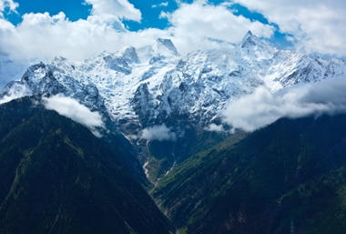
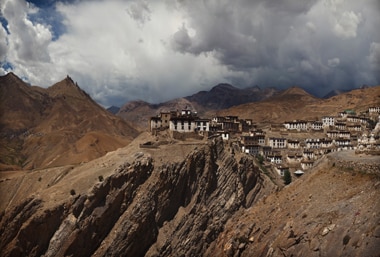
Sheltered Kinnaur offers beauty and stunning mountain panoramas. Itís famous for its pretty slate-roof houses, woods of pine, towering peaks Ė and acres of apple orchards (Himachalís most famous export). And youíll find no more friendlier folk than those in Kinnaurís mountain villages. Adventure wise, the region is a paradise for the trekker, presenting trails rarely trodden, none more memorable that around the splendid three-peaked massif of Kinner-Kailash.
History
Rugged and out-of-the-way, Kinnaur was connected to Shimla following the construction of the Hindustan-Tibet highway by the British. But much before that, the Ďhighwayí was a caravan route, and Kinnaur was, for many centuries, a key Himalayan trading post between the plains of north India and China. Fascinatingly, this region was one of the frontlines in the ĎGreat Gameí of espionage played out between the British, Russian and Chinese empires.
Geography
Bestriding the Sutlej River, Kinnaur separates the foothills of Shimla and the high-altitude extremes of Tibet. Kinnaurís western part is home to a multiplicity of habitats, ranging from the semitropical to uplands, while out east the topography grows bleakly barren, with glaciers dominating. The Kinner-Kailash massif is made up of three peaks: Jorkaden (21237ft, 6473m), Kinner-Kailash (19849ft, 6050m) and Raldang (18041ft, 5499m).
Weather
Because of its high average altitude, Kinnaur is known for long, cold winters and short (but pleasant) summers. While large areas of the higher reaches fall in the rain-shadow area, the lowlands receive generous rainfall during the monsoon.
How to reach
Rekong Peo, Kinnaur districtís headquarters, is connected to Shimla and Mandi by bus. There are also direct bus services to Chandigarh and Delhi from here (the main stand is 2km up the hill on the Kalpa road). Buses also ply locally (including to Kaza and Sangla).


 Share Via


