Manipur, meaning the Land of Jems, lies in the north-eastern part of India, bordered by the states of Mizoram, Assam and Nagaland in south, northwest and north, respectively. The state of Manipur shares its eastern border with the country of Myanmar. Spread over an area of 22327 sq km, Manipur is home to the Pangal, Kuki, Meitei and Naga people, who speak Sino-Tibetaan languages. The economy of the state is largely agriculture based, with cottage and trade industries also playing an important role.
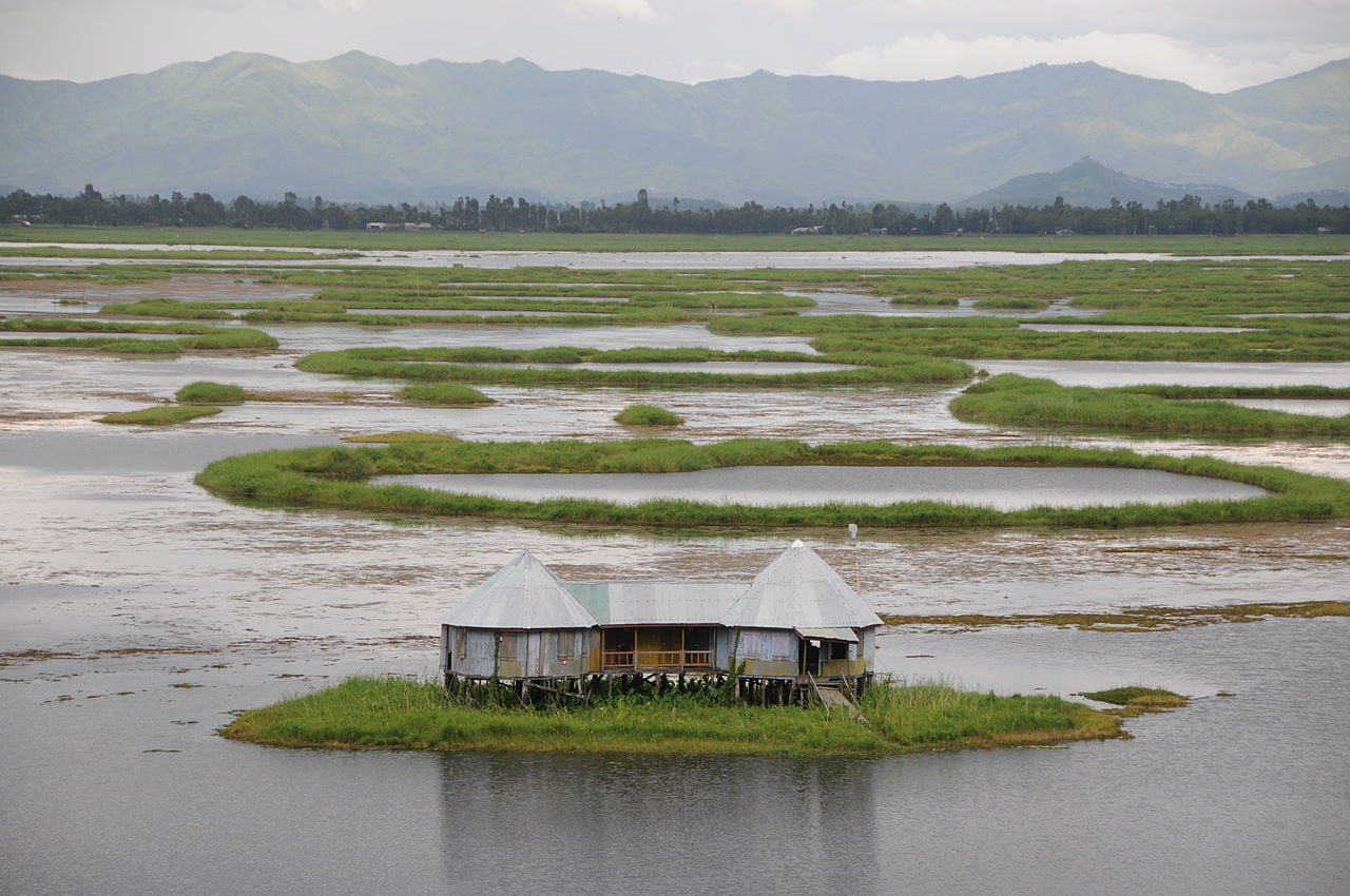
Natural beauty is one aspect of Manipur that draws hordes of travellers here. It is home to several placid lakes, cascading waterfalls and winding rivers. Some of these must-visit natural places in Manipur are the famous Loktak Lake, Khangkhui Mangsor Cave and Langthabal. Those travelling with kids should definitely take out time to visit Manipur Zoological Garden, Khonghampat Orchidarium, Keibul Lamjao National Park and British War Cemetery.
Besides sightseeing, one can have a whale of a time in the shopping markets of the state, the most famous ones being Khwairamband. Here, one can shop for handicrafts, textiles, jewellery and wicker products, among others. Those interested in adventure sports will not be disappointed as they can enjoy trekking, boating and camping here. Manipur like other Indian states celebrates festivals with lots of fanfare. One of its major festivals is the spring festival of Lai Haraoba, which is held in the month of April/May. Other important festivals that are celebrated here with joy and gaiety are Dol Yatra, Rath Yatra and Durga Puja.
The staple food of Manipuris, like other eastern and north-eastern states of India, consists of rice and fish. Besides these, one must try out their other local delicacies like Chagem Pomba, Kangshoi and Ooti while on a tour to Manipur. The ideal time to visit this scenic north-eastern state of India is from October to March, when the weather remains pleasant and favourable for sightseeing.
History
According to records, the history of Manipur can be traced back to around 900 CE. However, more recent history of the region dates back to 1762, when a treaty was signed by the King Jai Singh and the British to resist an invasion by the Burmese. Again in 1824, the British were requested to expel the Burmese from the region. Meanwhile, the region was witnessing a political turmoil caused by disputed successions. This ended with the nomination of the 5-year-old King Chura Chand in 1891. In the following eight years, the region was administered and supervised by the British, which saw abolishment of forced labour and slavery. This was also the time when roads were built in this region.
In the year 1907, the political power came under the king and the council, whose vice president was an Indian Civil Service member. However, later, a new system of government was adopted, and this was caused by the uprising of the Kuki hill tribes in 1917. As a result of which, the region was segregated into three subdivisions, which were to be led by an officer from the neighbouring state government of Assam. This set up though changed after the accession of Manipur to India in 1947.
Around two years later, Manipur rose up to the position of a union territory, governed by an elected territorial council and a chief commissioner. In 1969, the position of a chief commissioner was modified to that of a lieutenant governor. It again changed to governor, when Manipur gained the status of a state of the Union of India in 1972.
Geography
Manipur has two major physiographic features, a large region consisting of mountains and the Manipur Valley, which has an elevation of more than 790 m above sea level and is spread over 1787 sq km. The main physical attribute of the valley is the beautiful Loktak Lake, which is spread over 100 sq km. This lake is the source of the Manipur River that flows into Myanmar and joins a tributary of Chindwin, Myittha River.
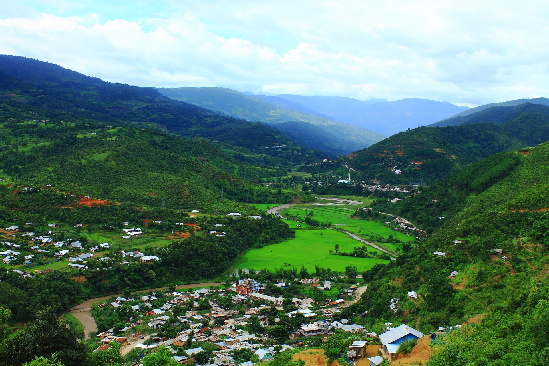
On the other hand, the mountainous region, which is connected by ridges and spurs, runs from the northern part of the state to the southern. The mountain range includes the Chin and Mizo hills in the south; Naga hill in the north; West Manipur hills in the west and East Manipur hills along the eastern border with Mynamar. The average elevations of these hills vary from 1500 to 1800 m above sea level, with those in the north averaging above 2900 m.
The largest river in Manipur is the Barak River, which has its origins in the Manipur Hills. It cuts through the West Manipur Hills to move forward to join the Meghna River, which lies in the neighbouring nation of Bangladesh. About 64 per cent of the total area of the state of Manipur features natural vegetation. Its vegetation comprises plants ranging from reeds and bamboos to short and tall grasses to trees. Broadly speaking, it is home to four forest types, namely Tropical Moist Deciduous, Tropical Semi-evergreen, Sub-Tropical Pine and Dry Temperate. In the hill areas of Manipur, there is abundant production of orange, rubber, cardamom, coffee and tea. In the valley, the main vegetation consists of cash crops and rice.
Weather
Manipur, being surrounded by hills on all sides, has a dual climate; with its valley having a temperate climate and its hills having a cold climate. In the summers, the maximum temperature in the state reaches 32 degree Celsius and in the winter months, it drops down to below 0 degree Celsius, coupled by frost. January remains the coldest month in the state with July being the warmest.
The monsoon season begins in the state from May and last till mid-October. On an average, it receives 1467 mm rainfall annually, but this rainfall distribution varies from region to region. For instance, while Tamenglong receives 2593 mm rainfall, Imphal receives 933 mm. The normal rainfall that the state gets enriches its soil and helps for irrigation and agricultural purposes. The driest months in the state are through November till February.
How to reach
Reaching Manipur is not so difficult, with it being well connected to major towns and cities of Northeast India.
By Air – The air gateway to the state, Imphal International Airport, lies about 8 km from the state capital Imphal. On six days of the week, this airport receives flights from Subhash Chandra Bose International Airport, Kolkata. Between Delhi and Imphal, bi-weekly flights are operated by some domestic carriers. The city of Imphal also receives four flights from Silchar Airport, Assam. To enter into the state capital, one can avail bus or private taxi service from outside the airport premises.
By Rail – The closest railhead to Imphal lies in Dimapur, which is in Nagaland. This railway station is approximately 215 km from Imphal. Dimapur Railway Station receives two weekly trains from some of the major cities of the country. From the station, one can avail private taxi or bus service to reach the city of Imphal. It takes about 9 hours by bus to cover the 215 km distance between this state capital and Dimapur.
By Road – One can drive into the state capital from any of the neighbouring states of Arunachal Pradesh, Meghalaya, Assam and Nagaland. It is advised to carry out this journey to Imphal on a 4-wheel drive, bringing along spare tyres as breakdown facilities on the roads are too little.
Getting Around
To travel within Manipur, the best option is to go for buses and heavy-duty vehicles. One can also hire a taxi to explore the state capital and the tourist attractions in proximity. Private and local bus service to travel to other parts of the state is available from the depot, which lies about 200 m north of the shopping district of Khwairamband.


 Share Via


