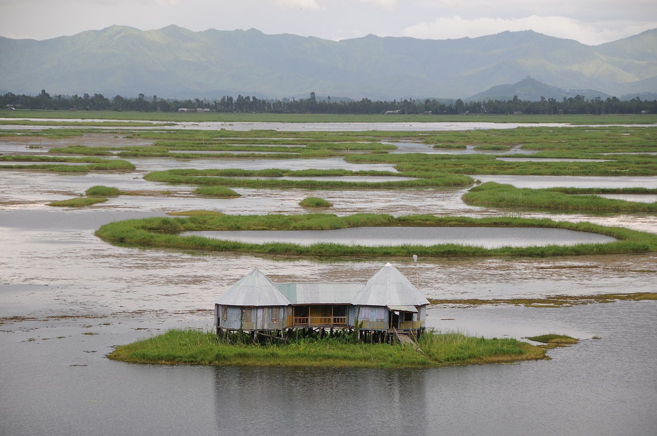
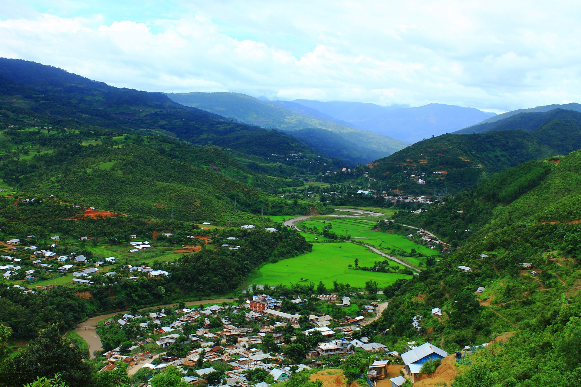
Mizoram, located in the north-eastern part of India, has its borders with the states of Assam, Manipur and Tripura along with nations, namely Bangladesh and Myanmar. The state capital of Mizoram is Aizawl, which lies in its north-central part. This state has the highest population of tribal people in India, and its name means the “Land of the Mizo.”
Besides the capital city, there are many places of tourist interest in the state, such as the Durtlang Hills, Phawngpui, Tamdil Lake, Ruantlang, Champai and Dampa. All these places can be visited to discover the natural beauty of this region. Those interested in shopping can head to the Bara Bazar of Aizawl. Besides this, the other popular ones in the state are Burma Lane, Ritz Market, Thakthing Bazaar and Solomon Cave. On the other hand, those interested to learn the culture of the Mizo people can be a part of its most popular festival – Kut. This festival has three variations, namely Pawl Kut, Mim Kut and Chapchar Kut. These festivals have their association with the harvesting of crops.
On a tour of this beautiful state, one must taste its popular local dishes that are a blend of North Indian and Chinese Cuisines. Most of the Mizo delicacies are non-vegetarian, with the popular ones being Bai, Vawksa Rep, Sawchair and Arsa Buhchiar. Vegetarians must try out their famous Panch Phoron Tarkari, which is prepared using five different spices.
In addition to food delights, the other thing that draws travellers to this state is the opportunity to take part in the various adventure and fun-filled activities, such as boating, mountaineering, caving, trekking, angling and camping. While mountaineering can be enjoyed at Blue Mountain Peak, the thrill of trekking can be relished at Phawngpui Peak. On the other hand, boating and angling can be done at the scenic Tamdil Lake. Those interested in some interesting activity can opt for caving in the famous caves of Lamsial, Kungawrhi, Milu Puk and Pukzing in the district of Aizawl.
The best time to come to Mizoram is from November to March, when the temperatures remain between 11 and 29 degree Celsius. This is the best time for sightseeing and indulging in adventure sports in the state.
History
The early history of Mizoram or to say the Mizo people is less known. What is known is that the Mizo tribes, which were previously known as Lushai, migrated from the Chin Hills between 1750 and 1850 to the area where Mizoram lies today. They subjugated the local population and made them part of their society. Also, they developed an autocratic political system, whose foundation was based on some 300 hereditary chieftanships. Until the 1826 annexation of Assam by the British under the Treaty of Yandabo, these Mizo tribes had remained completely unaffected by any foreign political influence.
In the following decades, the Mizos, time and again, raided the British territory that led to occasional expeditions by the British into the Mizo region. By 1870s, British had gained control over the Mizoram region, and in 1873, the British administration implemented the Inner Line Regulation that prevented people movement from the plains into the hills. However, until the early 1890s, the region was not formally under the British rule.
Under the British, this region was administered as South Lushai Hills under Bengal Presidency and North Lushai Hills under the Assam Province. In the year 1898, both these were united to form the Lushai Hills District, and the direct administration of it was given to the then governor of Assam. After India’s independence in 1947, the Lushai district remained part of Assam. For the next decade or so, there was increasing discontentment among the Mizo people, which led to the declaration of independence in 1966 by the Mizo National Front. As a result of which, the Indian government was compelled to give it a union territory status in 1972. Mizoram was finally granted with the status of statehood in 1987.
Geography
More than three-fourth of the total land area of Mizoram features forested region. According to geological studies, the Mizo Hills are part of the Rakhine Mountains. This mountain range consists of parallel ridges, which were formed between 2.6 to 65 million years ago. These ridges, which are divided by narrow river valleys, elevate to around 2100 m above sea level. Towards its southern side are the Kaladan River and its tributaries that flow into Myanmar. On its northern side flow two rivers Sonai and Dhaleswari that further flow into Assam.
The thickly forested regions of Mizoram comprise abundant timber trees, such as gurjun, champak and ironwood. These forests are also home to a number of wild animals, such as gibbon, deer, bear, tiger and elephant. They can be spotted in the number of wildlife sanctuaries and national parks established in these forest regions.
Weather
Mizoram has a moderate climate, with its warmest months being June through August. During this period, the minimum temperature remains around 15 to 18 degree Celsius while the maximum remains about 30 degree Celsius. In its coolest months (November through February), the temperature in its capital city, hovers between 10 to 20 degree Celsius. On an average, Mizoram receives 2500 mm rainfall annually, with most of it caused by the southwest monsoon. The monsoon season in the state starts in May and continues through September.
How to reach
The state of Mizoram can be reached from the rest of the country courtesy roadways, airways and railways.
By Air – The state capital, Aizawl receives flights from the cities of Guwahati, Silchar, Imphal and Kolkata, which are well connected to other airports of India. To enter the capital city or other towns of Mizoram, one can avail bus or taxi service available outside Lengpui Airport in Aizawl.
By Rail – As of March 2016, the state had no broad gauge railway line. It received its first train at its Bhairabi Railway Station from the Katakhal Station in Assam that was carrying food grains. Efforts are on to introduce passenger service on this line. The alternative railway route to Mizoram is through the Silchar Railway Station in Assam, which lies about 180 km away. In addition to Silchar, one can take trains to Guwahati in Assam, which is around 506 km away. The railway stations are well connected with Aizawl by regular bus and taxi services.
By Road – Mizoram is reasonably well connected to other north-eastern states of India by roads. The distance between Aizawl and Silchar, which is about 180 km, can be covered in 6 to 8 hours by taking the National Highway 54. Similarly, the state capital can be reached from other important cities of this region, such as Shillong (430 km), Guwahati (506 km), Agartala (443), Kohima (497 km) and Imphal (374 km), conveniently by road. Several buses ply on these routes carrying hundreds of passengers, each day. Alternative to bus service are private taxis and rental cars, which ply regularly to Aizawl as roads are the most effective way of commuting here.
Getting Around
The road infrastructure in the state is limited. However, it is connected to two national highways. The major roads in the state are connected mostly to its major towns. Within the state, there is an availability of regular bus services while some of the bus operators also provide inter-state services.


 Share Via


