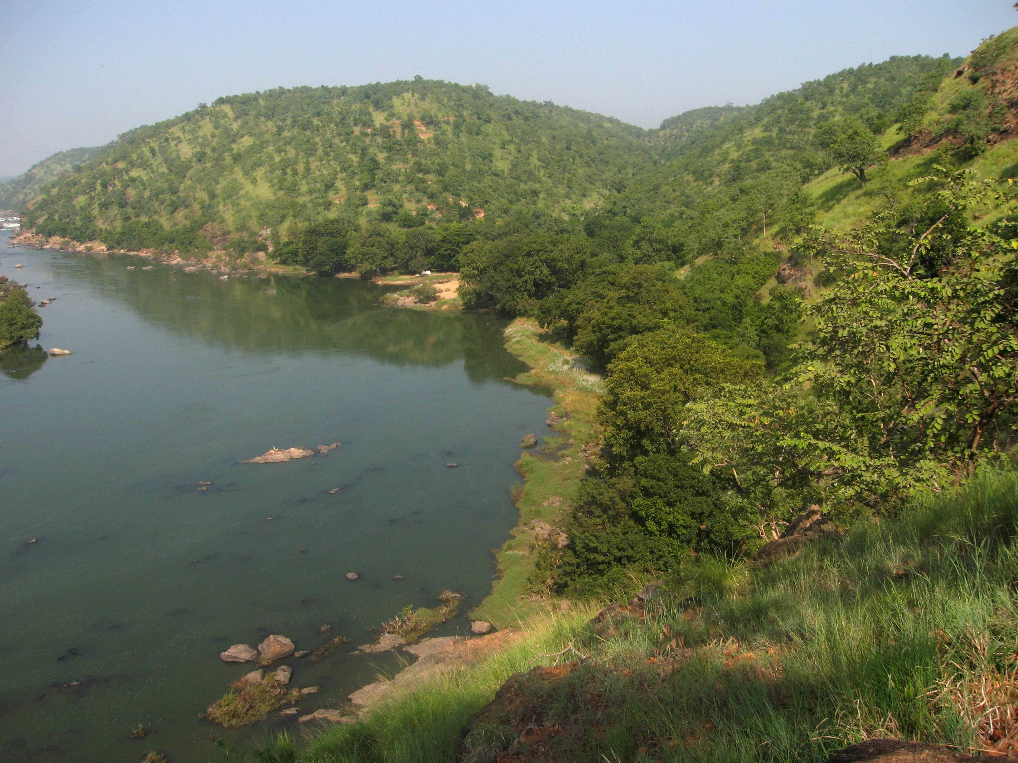
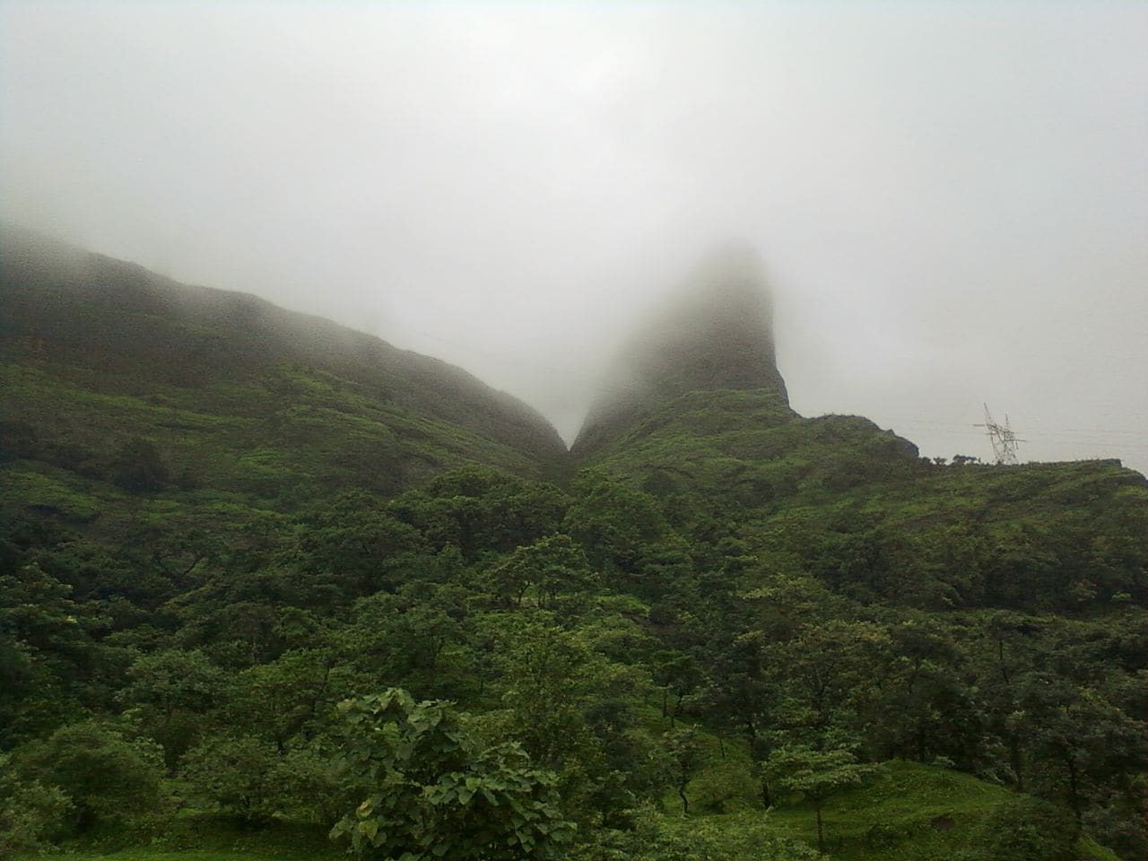
Often called the Great Escarpment of India, the Western Ghats are a chain of hills, running parallel to the West Indian coast. One among the eight hottest biodiversity hotspots, the region is recognised as a UNESCO World Heritage Site.
Running from the south to north along the western borders of the Deccan Plateau, the range covers the Indian states of Kerala, Tamil Nadu, Karnataka, Maharashtra, Goa and Gujarat. It separates the plateau from two narrow coastal strips, known as Konkan and Malabar along the Arabian Sea. The range spans an area of around 140000 sq km and stretches for about 1600 km in length.
Hosting a huge number of tourists every year, hill stations like Ooty, Mahabaleshwar, Lonavala, Khandala, Munnar, Ponmudi, Coonoor and Vythiri are all situated in the Western Ghats. Other places of tourist interest like Kodaikanal, Lovedale, Mattupetty, Meghamalai and Valparai are also located in this region.
Known for its amazingly high level of biodiversity and endemism, the Ghats are home to nearly 325 globally threatened species, including 229 plant species, 15 bird species, 31 mammal species, five reptile species, 43 amphibian species and one fish species. In total, more than 5000 species of flowering plants, 139 of mammal species, 79 of amphibians and 508 of birds are known to exist in the hills.
The Western Ghats feature 39 designated component areas, which are classified as tiger reserves, wildlife sanctuaries, national parks and reserved forests. Out of these, 20 are in Kerala, 10 in Karnataka, five in Tamil Nadu and four in Maharashtra.
Within the boundaries of the Ghats, protected areas like Radhanagari Wildlife Sanctuary, Kalakkad Mundanthurai Tiger Reserve, Karian Shola National Park, Pushpagiri Wildlife Sanctuary and Chandoli National Park are appropriate sites to catch a glimpse of the rare fauna of the region. Mammalian species, such as Nilgiri tahr, lion-tailed macaque, Bengal tiger, Malabar large-spotted civet and Indian elephants live here. Besides, a large population of several birds, including rufous-breasted laughingthrushes, Nilgiri wood pigeons, white-bellied shortwings and broad-tailed grassbirds are confined to this region. Explore Popular Treks in Western Ghats
Peaks and hills along with dense forests and lush valleys in the Western Ghats are great spots for outdoor activities like mountaineering, rock climbing, trekking, camping and jungle walks. White river rafting is also possible in this region as a number of seasonal rivers flow through it.
The Western Ghats have a few manmade reservoirs and lakes, where a boat ride can be taken to enjoy views of the woody or grassy surroundings. Jog Falls, Dudhsagar Falls, Kunchikal Falls and Sivasamudram Falls among the many treasures that nature has bestowed on this hilly region.
History
The Western Ghats are considered older than the Himalayas, and their formation started when the earth’s crust was being formed. Factually, the Ghats are not true mountains, but faulted edges of an elevated plateau.
About 150 million years ago, peninsular India split from the supercontinent of Gondwanaland, which was made up of the present-day continents of Australia, South America, Africa and Antarctica, and the Indian subcontinent. The peninsula further continued moving northwards and eventually collided with the Asian mainland around 45 million years ago. Major geological transformations occurred and the peninsula drifted over the present-day Reunion Islands. It further moved up, and the underlying heat created basaltic magma, which rose to the lithosphere and resulted in uplift by crustal arching. This geological event happened about 120-130 million years ago, causing the uplift of the Western Ghats that tilted the Indian Plate in the east direction. Subsequent volcanic eruptions created the extensive Deccan Traps and moulded the Northern Western Ghats.
Peninsular India later broke along its axial region of weakness, which caused the western segment to drift westward into the sea. All these events that took place during the Eocene period (between 45 and 65 million years ago) are responsible for the formation of the present-day hill chain of the Western Ghats and the west coast. The exposed face of the eastern plate, which was not under water, rose to create the scarp of the Western Ghats.
Geography
Spanning an area of about 160000 sq km, the range begins near the border of Gujarat and Maharashtra, south of the Tapti River and stretches for about 1600 km southwards, traversing the Indian states of Maharashtra, Goa, Karnataka, Kerala and Tamil Nadu. The range ends in Kanyakumari, the southernmost tip of mainland India. The highest peak in the Western Ghats is Anamudi in Kerala that rises to an elevation of 2695 metres above sea level.
The Western Ghats start from the Satpura Range in the north, with two major gaps across its length. The first is the Goa Gap, which is between the Karnataka and Maharashtra sections, whereas the other is known as the Palghat Gap, which is in the middle of the Nilgiri Hills and Anaimalai Hills on the Tamil Nadu-Kerala border.
Between the Arabian Sea and Western Ghats lies the northern chunk of the arrow coastal strip, known as, Konkan. Likewise, the central section is called Kanara and the southern portion is called Malabar region or Malabar Coast. The foothill area, which falls in Maharashtra to the east of the Ghats, is called Desh, whereas the eastern foothills in central Karnataka are known as Malenadu. The largest city, located in the Ghats, is part of the Desh region, while the Biligirirangan Hills lie at the junction of Western and Eastern Ghats.
Major hill ranges that constitute the Western Ghats are Sahyadhris, Nilgiris, Anaimalai Hills and Cardamom Hills. Noted hill stations, such as Matheran, Lonavala, Mahabaleshwar, Khandala, Amboli Ghat, Panchgani, Kudremukh and Kodagu are located in the Sahyadri Range. The Nilgiri Hills are located in Tamil Nadu and are home to the town of Ooty. Occupying parts of Tamil Nadu and Kerala, the Anamala Hills further extend towards the south. The southern end of the Western Ghats is formed of the Cardamom Hills, Aryankavu Pass and Aralvaimozhi Pass near Kanyakumari.
A number of manmade lakes and reservoirs are located in the Western Ghats, including Ooty, Berijam, Pookode, Devikulam and Letchmi. Most of the streams draining the Western Ghats join the Krishna and Kaveri Rivers during monsoon months. With rivers like Tungabhadra, Godavari, Thamiraparani, Krishna and Kaveri, flowing through, the Western Ghats are one of the four watersheds of India. Some of these rivers flow to the east and fall into the Bay of Bengal while others into the Arabian Sea and Laccadive Sea. During the monsoon months, a number of streams create huge waterfalls like Jog Falls, Kunchikal Falls, Dudhsagar Falls and Sivasamudram Falls.
Weather
Altitude and distance from the equator are the major factors that influence the climate of various regions within the Western Ghats. In the lower reaches, the climate is tropical and humid due to its proximity to the sea. Areas that lie at an elevation of 1500 metres and above in the north and at 2000 metres and above in the south exhibit a more temperate climate. The average annual temperature for the whole of the Ghats is about 15 °C whereas the mean temperature ranges from 20 °C in the south to 24 °C in the north. In the winter months, frost is common in some places, and the temperature at times drops to freezing point.
During the monsoon from June to September, the Western Ghats act as a key barrier to the rain-carrying winds that sweep in from the south-west. The moisture-laden clouds are thus forced to rise, which eventually results in heavy showers on the windward side. Rainfall in this region averages between 3000 and 4000 mm with some points witnessing up to 9000 mm. On the contrary, the eastern part of the Ghats receives relatively lesser rainfall, averaging about 1000 mm, which ultimately brings the annual average of the whole region to around 2500 mm.
How to reach
A number of cities and towns that are located in and around the Western Ghats are easily accessible by air, rail and road. Pune, the largest city in the Ghats, has an airport and is well connected to the rest of India by an extensive network of railway lines and highways. Likewise, noted hill stations in the region are also suitably linked with each other as well as with neighbouring towns and cities.
Getting Around
As the Western Ghats traverse six states in West and South India, various sections that fall in these states are connected to each other by means of airways, railways and roadways. Most of the cities in these states house important airports and railway stations that are linked to prominent towns and places of tourist interest lying within the territories of the Ghats.
Apart from buses that ply between these locations, taxis can also be hired to cover longer distances within this region. Besides, a Jeep safari can be taken to explore the protected areas that lie in the Western Ghats.


 Share Via


