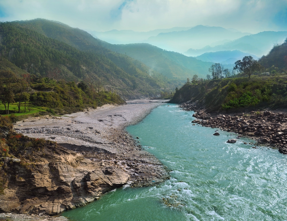
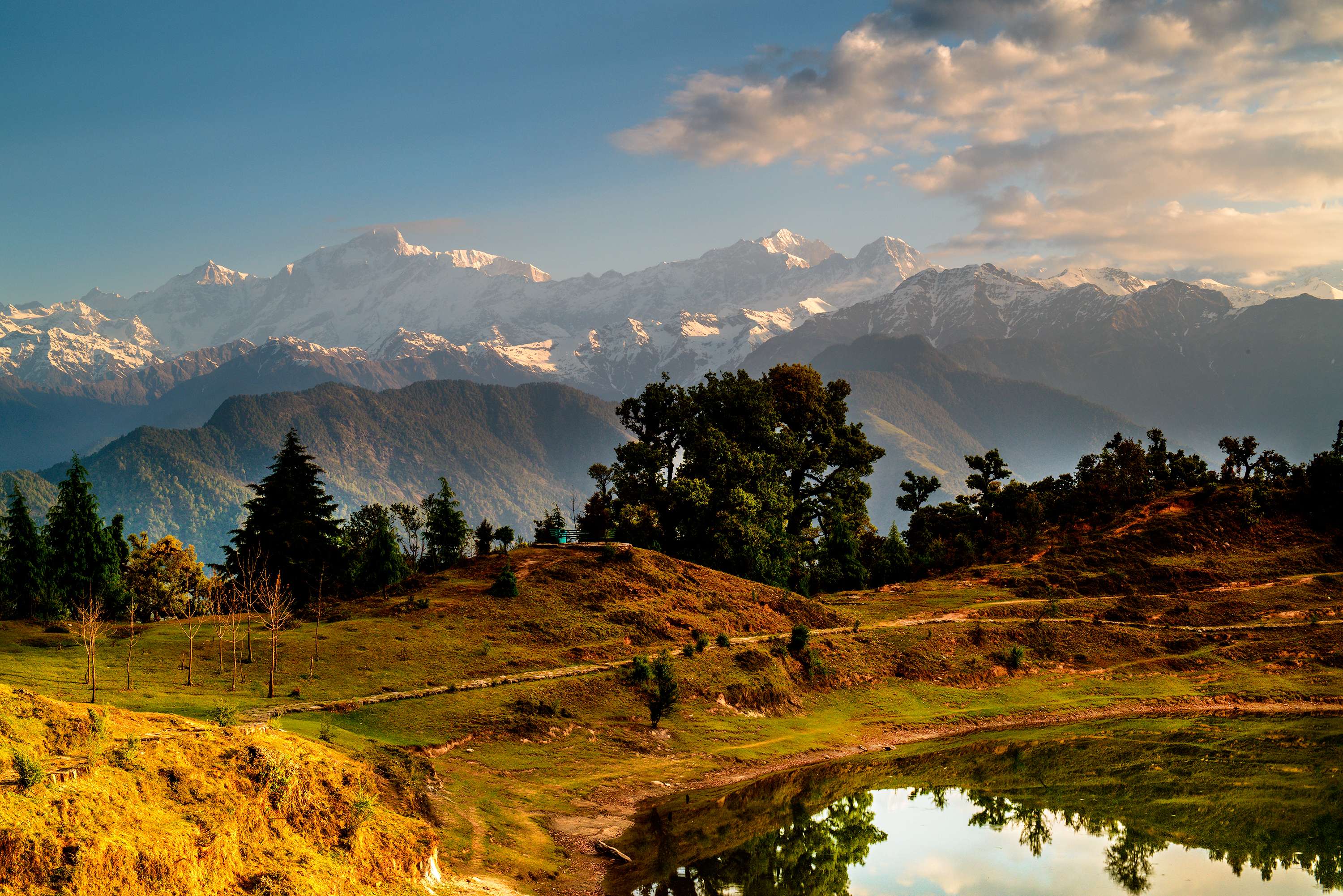
An administrative division and western region of the state of Uttarakhand, Garhwal is a popular tourist destination among nature lovers and adventure enthusiasts. Chamoli, Haridwar, Dehradun, Rudraprayag, Pauri Garhwal, Tehri Garhwal and Uttarkashi are the districts of Uttarakhand that fall in this division. Famous hill stations in Garhwal are Mussoorie, Dehradun, Landsdowne, Pauri and Dhanaulti.
Snow-clad mountains, picturesque valleys, dense forests and challenging treks along with nature reserves and numerous points of religious interest in the region attract tourists. The best time to visit the region is from March to June and from September to November.
The Chhota Char Dham, namely Badrinath, Kedarnath, Gangotri and Badrinath, are among the most sacred shrines in India that are situated in Garhwal. Besides, Hemkund Sahib and Haridwar are other places of religious interest.
Mountains, glaciers, rivers, lush meadows, waterfalls, deep woods and rocky terrain of the region make it a perfect destination for adventure sports like mountaineering, rock climbing and trekking. Nanda Devi, Kamet and Gaumukh are ideal destinations for trekking, whereas Dayara Bugyal and Auli are apt venues to try skiing. Other challenging activities, such as river rafting, bungee jumping, paragliding and angling are quite popular in Haridwar and Pauri Garhwal.
Nanda Devi National Park, Govind Pashu Vihar Wildlife Sanctuary, Rajaji National Park and Kedarnath Wildlife Sanctuary are home to mammalian and avian species like the musk deer, mainland serow, Himalayan tahr, Bengal tiger, Asian elephant, king cobra, Indian porcupine, Himalayan pit viper, Himalayan monal, koklass pheasant and wild boar. Apart from these, snow leopards, Himalayan wolves, Asiatic black bear, Himalayan brown bear, Himalayan and Eurasian griffon vultures and lammergeiers can also be seen here.
A number of fairs are held in Garhwal each year that are mostly associated with historical events or figures. Jhanda Fair, Tapkeshwar Fair and Mahasu Devta Fair offer a peek into the life, culture and traditions of Gharwalis, the natives of the region. Garhwali cuisine is typical of North Indian cuisine in terms of the style of cooking and ingredients used for the preparations. Some Garhwali specialities are Kafuli, Chainsoo, Phanu and Thechwani. Desserts and sweets that are cooked on special occasions are Gulgula, Jhangora Ki Kheer, Kandku and Arsa.
Numerous buzzing markets are located in different towns of Garhwal that deal in mementoes, trinkets, handicrafts and artefacts along with hand-woven shawls, stoles and silk items. Tibetan Market, Mall Road and Kulri Bazaar are noted shopping spots in Mussoorie, while Paltan Bazaar, Landour Bazaar and The Mall are popular shopping sites in Dehradun.
History
Garhwal finds mention in the ancient texts of Kedarkhand, and was once known by the same name. The history of the region is thought to be older than that of Indian epics like the Ramayana and Mahabharata. According to scriptural texts, a number of tribes, namely Khasas, Hunas, Nagas and Kiratas used to reside here. Chiefly, Khasas had their domination over the area until the arrival of Rajputs and Brahmans.
Excavations in Garhwal also point out that it was once part of the Mauryan Empire. Garhwal has also been related to the noted Adi Shankaracharya, who is known to have restored sacred shrines in the region, including Kedarnath and Badrinath.
Not much is known about the region’s history prior to the rule of Panwars. Katyuri was the earliest ruling dynasty of Garhwal that ruled over the region up to 11th century AD. Kanak Pal was the first to govern the state of Garhwal in AD 823. According to one hypothesis, Garhwal derives its name from the 52 forts (garh) in the region that were ruled by chieftains and were later brought under the rule of Raja Ajay Pal, a Katyuri ruler.
The arrival of Gurkhas in the region 1803 marked the end of Katyuris’ rule in. The Gurkhas maintained their ruthless dominion over the region for the next 12 years. Later, the British occupied Garhwal, and made it a part of their Kumaon division. However, the local rulers were allowed to independently maintain their rule.
In the 19th century, the Gurkhas again invaded the region, but were soon expelled from the area by Gharwali rulers with the help of British forces. For their support in defeating the Gurkhas, the rulers gave about 60 per cent of their empire to the colonisers. It is also noted that Raja Narendra Shah offered his troops as an act to support the British during World War II.
After the Indian independence, Garhwal became part of the Indian state of Uttar Pradesh and further established as a major administrative division of Uttrakhand, an independent state, formed on 9th November, 2000.
Geography
Located in the west of the North Indian state of Uttarakhand, Garhwal is bounded by Tibet on the north and Kumaon region on the east. The region’s north-western and southern parts share their boundaries with the states of Himachal Pradesh and Uttar Pradesh, respectively.
Garhwal mostly comprises mountains that extend in all directions and are divided by narrow valleys. At some points, these valleys comprise deep gorges and ravines. However, a narrow strip of water-scanty forest exists between the fecund plains of Rohilkhand and southern slopes of the hills. The eastern part of the Chamoli district consists of the region’s highest mountains and features major peaks like Nanda Devi, Chaukhamba, Kamet, Dunagiri, Trisul and Kedarnath.
One of the two headstreams of the Ganges, the Alaknanda River merges with the Bhagirathi River in the town of Devprayag. The unified stream is further known as the Ganga River (Ganges). Cultivation is chiefly limited to the regions that are in proximity to the river, the water of which is used to serve the purpose of irrigation.
The southernmost strip of the division contains the Khadar and Bangar belts of the Indian plains. Northwards, dense forests of the Terai belt take over, that are further replaced by the Bhabar strip. Beyond these lie the Shivalik Hills that range in elevation from 2000 feet to about 6000 feet above sea level where deciduous and pine vegetation occurs. Further north, the Middle Himalayan Ranges that rise up to about 15000 feet above sea level occur. Temperate coniferous forests, comprising firs, deodars and spruce cover the slopes.
At altitudes between 11000 and 14000 feet, above the tree line, meadows and growths of rhododendrons, juniper, hemlock and wolfsbane are common. Beyond these, up to around 18000 feet, the mountains do not have any vegetation, and further northwards, the peaks are permanently covered with snow.
Weather
Although the altitude of an area plays an important role in determining its climate, the weather of Garhwal is fairly pleasant throughout the year. The overall climate of the region ranges from sub-temperate to temperate.
In summers, the temperature goes beyond 45 degree Celsius in Kotdwar, whereas it never exceeds 25 degree Celsius in Dudhatoli. In the high-altitude areas of the Middle Himalayas, the summer temperature ranges from 15-18 degree Celsius and the season lasts from April to June.
During the winter months, the temperature in the plains goes below 5 degree Celsius. Winters are mostly chilling in the Middle Himalayas, and the temperature regularly goes below freezing point. Snowfall is common in areas at high elevation, and peaks remain snow-capped throughout the season. The monsoon season dominates the region from the month of July to September, during which the temperature varies between 15 and 25 degree Celsius.
How to reach
Located around 27 km from Uttarakhand’s capital Dehradun, Jolly Grant Airport is the only airfield that serves the division. Regular flights operate from Delhi to this airport. It is nearly 91 km and 155 km from the towns of Tehri and Pauri, respectively.
Kotdwar, Dehradun, Haridwar and Rishikesh house the major railheads of the Garhwal region, those well connected to important towns and cities within the state and rest of India.
Motor-able roads within the region connect major cities and towns in Uttarakhand to other North Indian states. Buses, both standard and luxury, operate from Delhi to noted towns like Kotdwar, Pauri, Dehradun and Tehri. Taxi and car service is also available from Delhi to these locations.
Getting Around
National Highway 119 connects major towns within Uttarakhand. State-owned and private buses run between towns like Dehradun, Haridwar, Kotdwar, Mussoorie, Rishikesh, Tehri, Devprayag, Srinagar and Pauri. Taxi service is also available from these locations and important railway stations in the Garhwal division.
Buses along with cycle-rickshaw and auto-rickshaw are few options that can be availed to explore a particular town. However, as most towns are small, a short stroll to discover local markets, shops and even some tourist hotspots that lie within the limits of a town can also be taken.


 Share Via


_1437979878_kcRQ5j.jpg)


_1437550659_K9TLP2.jpg)


_1437979814_va4FTD.jpg)