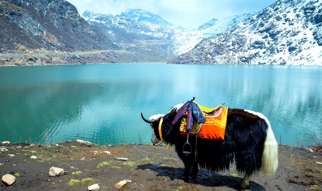
Limitless deserts, thriving jungles, prosperous rivers and breathtaking views – with every step you take on the Markha Valley Trek you are introduced to nature, beauty, adventure and a heap of emotions felt never before.

With its trail taking you through the Hemis National Park where there’s a good chance you’ll spot a snow leopard to further heading to tiny Himalayan hamlets with huge parachute tents and a unique Buddhist culture to finally crossing high mountain passes that offer you views so enchanting that you almost never want to leave, the Markha Valley Trek has it all!

So if you’re planning your next trekking adventure, look no further! Here are 5 Unbeatable Reasons to do the Markha Valley Trek this summer.

Explore Diverse Landscapes
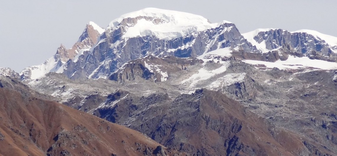
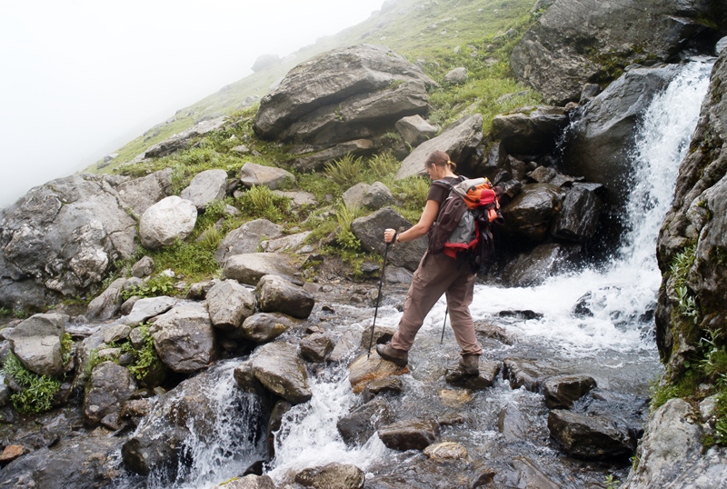
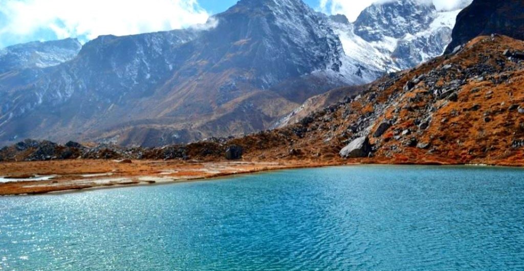
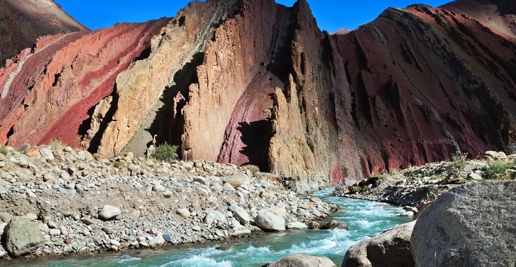
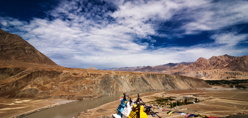
Unlike the numerous treks that take you through forests or arid deserts of the region, the Markha Valley trek introduces you to landscapes along flowing rivers, green pastures, scenic valleys, and flourishing national parks, and bone-dry desert expanses. On this trek, you will experience excitement – when you spot a snow leopard; hardship -when you cross stretches of the waist-deep Markha River; peace -when you take a stop at the confluence of Indus and Zinchen Rivers; thrill -when you conquer over 17,000 feet at Kongmaru La Pass.
Trek Ladakh Today
Trek Ladakh Today!

Discover Ancient Buddhist Villages
The Markha Valley Trek takes you through some diverse landscapes and while most of the hike is shadowed by wilderness, there will be days when you will stop by tiny mountain hamlets. Trek through scenic landscapes and pass along river banks; meet the region’s locals and come face-to- face with religious shrines at Lhatos and confront the Mani walls. Mani walls are stone structures that are formed by the compilation of intricately carved stone tablets mostly with the inscription of ‘Om Mani Padme Hum’ loosely meaning ‘ Hail to the jewel
in the lotus’.

Hike through the villages of Umlung and Hangskar. Much like an eagle nest perched on the tallest tree, the Techa Monastery in Umlung is one of the highest located monasteries and is easily a 1000 years old. Although Umlung offers the comforts of a monastery and a handful of homestays, a visit to Hangskar (the last hamlet in the valley) with its ever welcoming locals and their hot butter tea is a reward in itself. Some of the other villages that you will pass by during the Markha Valley Trek are Spituk, Shingo, and Siku among others.

An Encounter with the Wild
One of the best parts of about the Markha Valley trek is that it takes you through the charming Hemis National Park. Best known for having the highest density of snow leopard in any protected area in the world,
the Hemis National Park with its large population of rare species of wildlife is arguably one of the best parts of this trek. Tibetan wolves, red foxes, Eurasian brown bears and Asiatic ibexes – they are all here. But that’s not all – the region also boasts of being the only habitat of the Shapu in India and is also home to the mountain weasel and the Himalayan mouse. The park is also a bird watcher’s paradise and visitors are often lucky to spot the Lammergeier vulture, the fork-tailed swift, Fire-fronted serin and Tibetan snowfinch in their natural habitat.
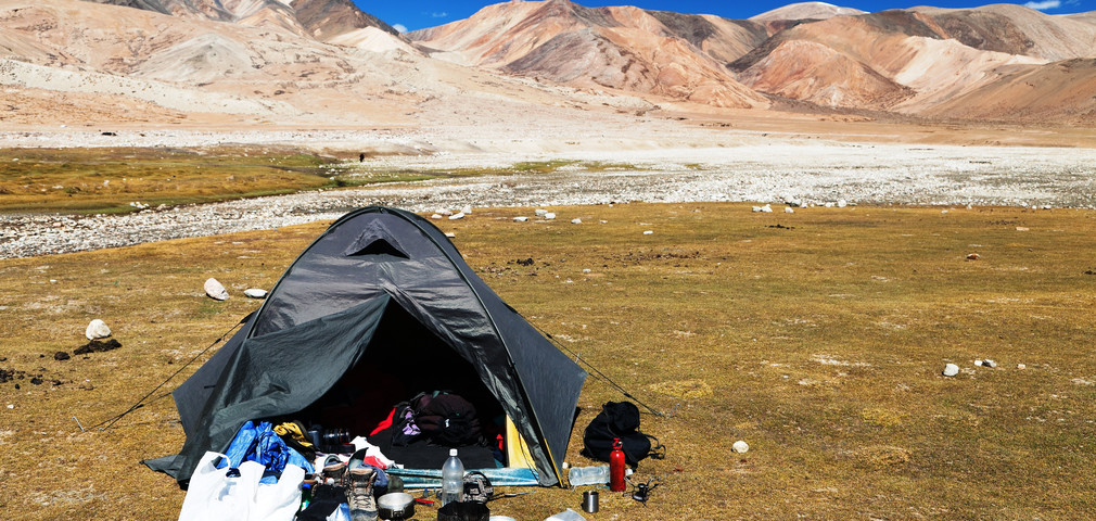
Camping in Ladakh
Camping in Ladakh

Live in Parachute Tents
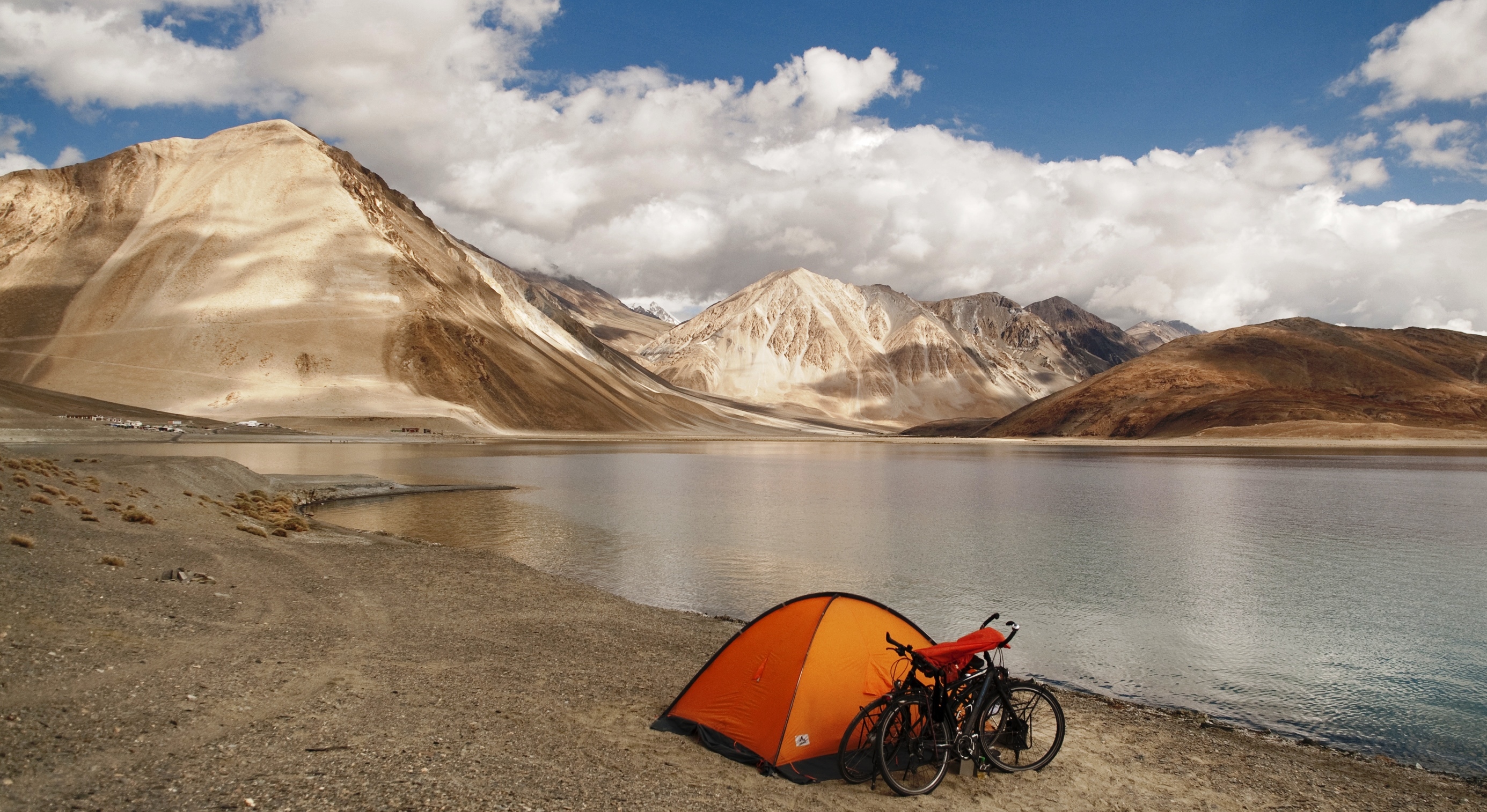
The Markha Valley trek is also known as the ‘tea house trek’, takes you through diverse terrains and arid deserts but that’s not the only fun part of this excursion. While the villages on the trail have ample homestays that provide the comfort of a home away from home, this adventure also lets you have the experience of camping in parachute
tents. These parachute tents are massive tents where you camp the night with your entire group. Fun much? Oh, you have to experience it to know how much!

Be an Achiever
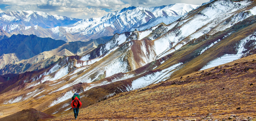
The trek begins from the green landscapes of the Hemis National Park but don’t let the lush environs fool you, this is just the beginning. The Markha Valley trek takes you through striking contrasts. Trek through the land masses with powerful rivers that are knee-deep if not more and pass through rocky canyons to reach the towering peaks of
Ganda La at 15748 feet, and Kongmaru La at 17060 feet. Reach the top and be welcomed by breathtaking views of Ladakh and the Zanskar ranges. It’s a superlative achievement that feels a million times better
than it reads.
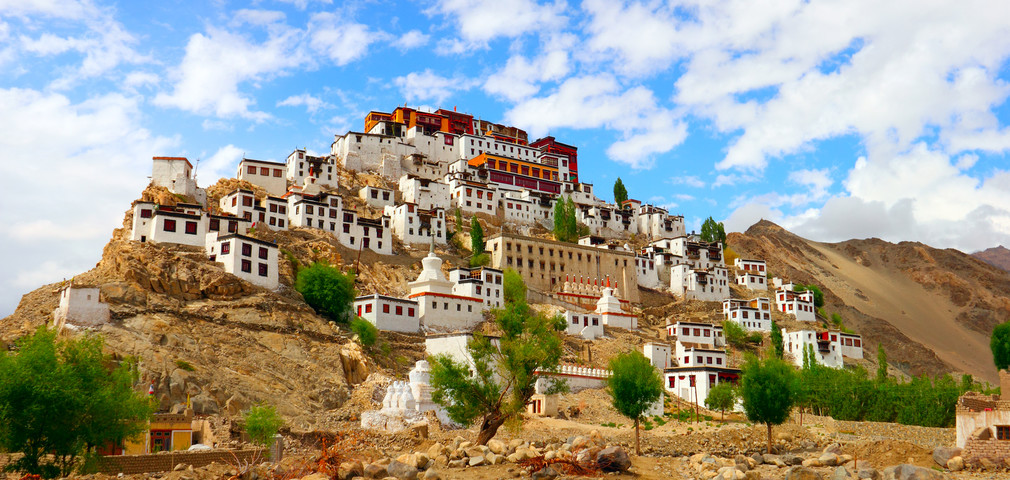
In Leh
In Leh

It’s not every day that you come across a trek that offers an out-an-out Ladakhi experience. Raw and natural beauty, exciting adventure, the Buddhist culture, the local food, and the warm hospitality of the people
– everything’s covered.

This trip is everything that dream vacations to Ladakh are made of, and if it resonates with your idea of adventure, let there be no place else you head this summer.

Himachal Pradesh is beyond doubt one of the most verdant and naturally beautiful states in India. With 3 mountain ranges, namely Pir Panjal, Shivalik, and Dhauladhar, in its vicinity, this state literally is the home of snow. It has so much to offer that no matter how many times you travel here; there will always be something new to witness and experience.

In addition to being home to some of the most popular hill towns, like Shimla, Dharamsala, Dalhousie and Manali, it is also a favorite among adventure seekers, particularly trekkers. There are many treks in the state that originate from Manali and Dharamsala. In addition to trekking, you could also enjoy paragliding in Manali as well as Bir Billing.

Here is a lowdown on some of the best treks in Himachal Pradesh

Hampta Pass Trek

Hampta Pass Trek

This trek begins from Manali and is ideal for beginners. With maximum altitude of 14100 feet, this trek takes 5 days to complete, covering a total distance of 26 kms.  Bookings now open

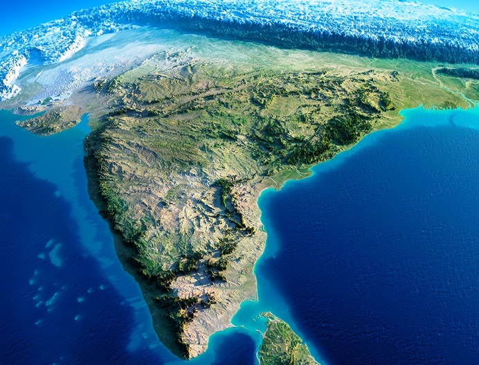
India is a diverse country, not just culturally but geographically too. Here are some interesting facts and figures about the geography of our country:

India
India

Geographical Area – With an area of 3,287,240 sqkm, India is the seventh largest country in the world by area and 2nd largest by population.

Coldest Place – Dras, located in the Kargil district of Jammu & Kashmir, is the coldest place in India. It is situated at a height of approximately 11,000 feet.

Easternmost Point – The tiny town of Kibithu in Arunachal Pradesh is the easternmost point of India. The Lohit River enters India from Kibithu.

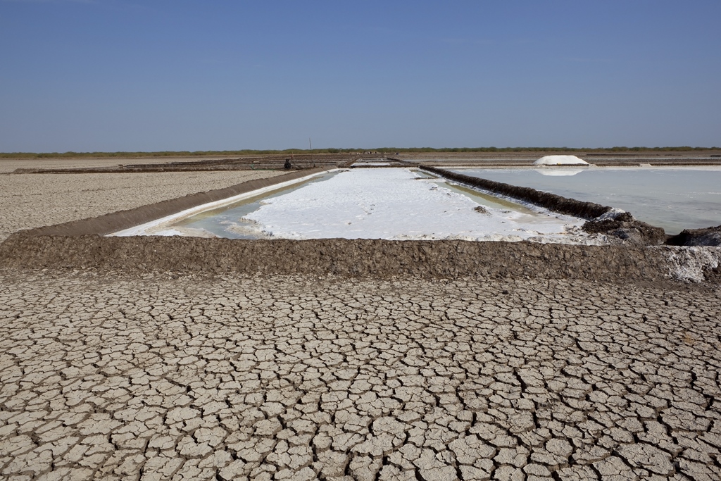
Westernmost Point – The westernmost point of India is the small inhabited village of Ghuar Moti, located in the Kutch District of Gujarat.

Rann of Kutch in Gujarat

India is home to some of the most diverse landscapes from mountains, valleys to forests, deserts and beaches. This diversity in topography attracts people from all over the world in every season to experience India in her many colors. India boasts some of the most beautiful valleys like the extremely popular Nubra in Ladakh or the verdant Dibang Valley in the north-eastern state of Arunachal Pradesh. Come explore these with us.

  1. Nubra Valley, Ladakh, Jammu & Kashmir
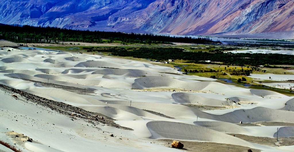
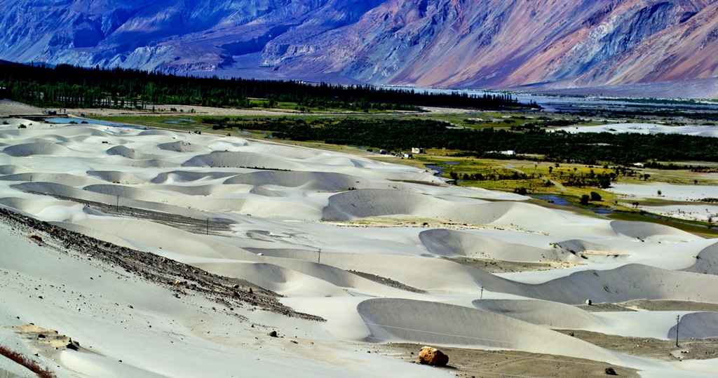
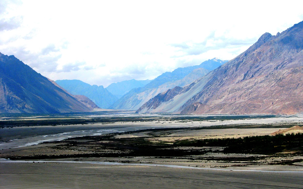
    Believed to be originally called Ldumra meaning the Valley of Flowers, Nubra is located to the north east of Ladakh Valley, approximately 150 kms from Leh. The meeting of Nubra and Shyok (tributary of Indus) Rivers forms a large valley, separating the Karakoram and Ladakh Ranges. This valley can be reached by travelling over the Khardung La from Leh. The average altitude of Nubra is roughly 10,000 feet above sea level.
    An array of colors at Nubra Valley
    An array of colors at Nubra Valley Image Credits: wikipedia.org


  2. Spiti Valley, Himachal Pradesh
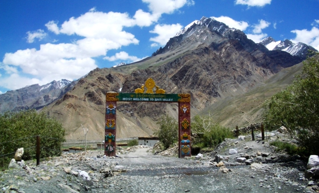
    Located high in the north eastern part of Himachal Pradesh, Spiti Valley is situated between Tibet and India. It is a desert mountain valley and is one of the least populated regions of the country. It is a part of Lahaul and Spiti district and is home to similar Buddhist culture as found in Tibet and Ladakh. Kunzum La at 4,590 meters separates Lahaul from Spiti. The entire valley is surrounded by high mountain ranges. Heavy snowfalls cut off the valley from the rest of the country for almost 2-3 months from November to January every year.
    The ever-welcoming Spiti Valley
    The ever-welcoming Spiti Valley Image Credits: wikipedia.org


  3. Dzukou Valley, Nagaland
    Considered to be one of the most beautiful places in Nagaland, the Dzukou Valley is just ideal for easy to moderate trekking. Dzukou means Cold Water which comes from the cold streams of water that flow through the valley. It is known for its flora and fauna and particularly seasonal flowers like Dzukou Lily found only in this area. It sits at 8339 feet above sea level behind the Japfu Peak at the border between Manipur and Nagaland.

Machu Picchu, a name the whole world is familiar with today, was not known to mankind a century ago. Spirit of adventure, curiosity and the quest for the unknown led to its discovery in 1911, when a party of three chanced upon it while looking for the legendary lost city of Vilcabamba. The leader of this party was Hiram Bingham.

Machu Picchu
Machu Picchu

Bingham was born in Honolulu, Hawaii on 19th November, 1875 to a family of missionaries. However, he found his true calling in history and archaeology, especially Latin American History and that motivated him to pursue his doctorate in the same field and take many trips to South America. His 1911 expedition, as mentioned above, was to seek out the Incas’ last capital, Vilcabamba, which was believed to have been the last refuge of the defeated king Manco Inca II in 1536, when he had fled after being defeated by the Spanish conquistador Francisco Pizarro. There was a lot of speculation about the location of this city to be somewhere in the valleys of the Vilcabamba and Urubamba River.
Hiram Bingham
Hiram Bingham
Image Credits: wikipedia.org

On the morning of 23rd July, 1911, along with his companion Sergeant Carrasco, a Peruvian soldier, Bingham left Cuzco to explore the Urubamba valley. They spent the night camping near the river and while there, they were approached by a local farmer named Melchor Arteaga who informed them of the presence of some ancient ruins high up in the mountains. The next morning, 24th July, the 3 set out to explore and find out what these ruins were. They all advanced slowly, making their way across a wobbly bridge that traversed just above the rapids. Fighting the rain, they scrambled up the path, sometimes on all fours owing to its steepness. After about an hour or so, they were above the tree line and the view below took their breath away. Little did they know that something even more spectacular awaited them above.

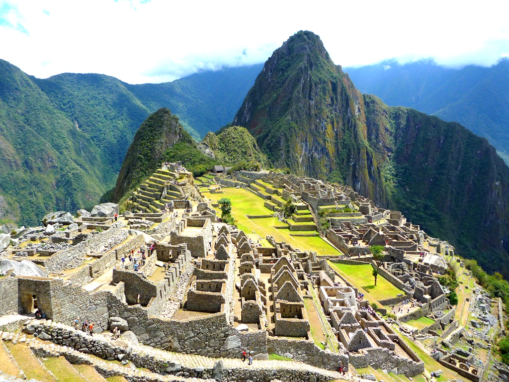
As they moved further up, they found that the Native Americans farmed on an ancient terrace cleared of the jungle. They discovered more terraces and mazes of sorts, consisting of stone houses made of white granite blocks fitted together with clean, mortar-less joints, sitting 4000 feet above the Urubamba River. Accidentally, they had found an abandoned citadel/fortress that was to become the most celebrated ruin in South America and one of the most visited sites in the world.
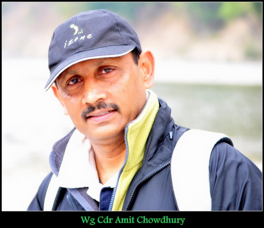
Born on 17th January 1959, , Wg Cdr Amit Chowdhury, VSM (Retd), developed an interest in adventure activities when he joined Jadavpur University in 1976 and went for a rock climbing course at Susunia Hills in West Bengal. Very soon he was climbing in the crags of Bankura and Purulia and pioneering some new routes in these areas. Besides doing a few trekking routes, he attended the Mountaineering Courses at HMI Darjeeling.

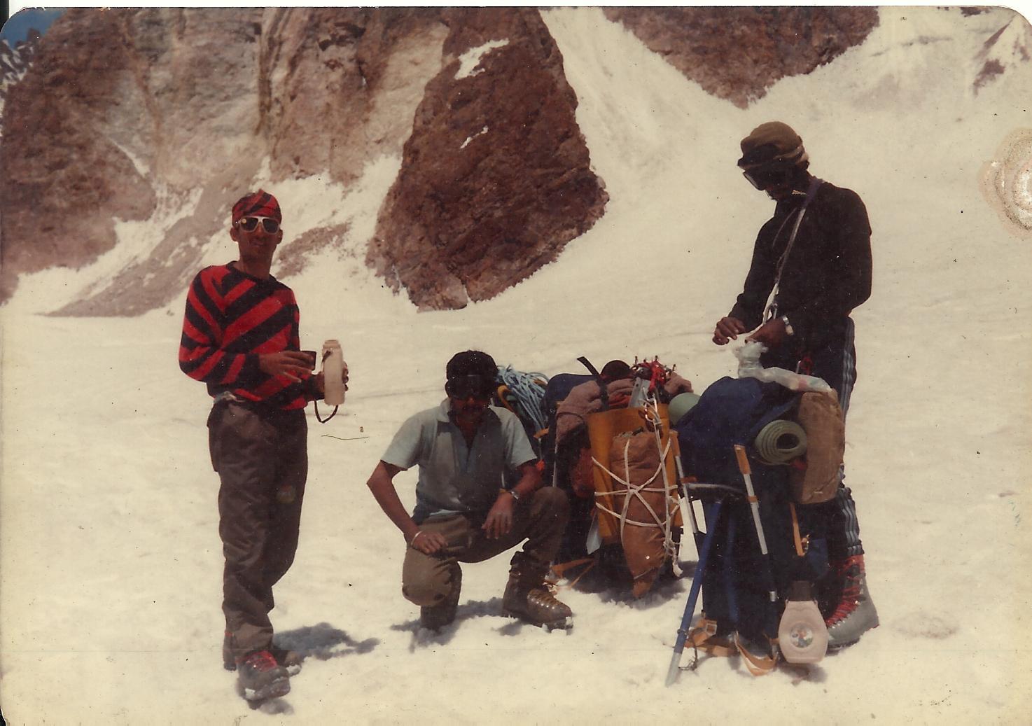
He went on to lead the very successful expedition to Mt. Jogin in Garhwal in 1980. In that expedition he climbed the hitherto virgin Mt. Jogin II. More interesting, however, was that the team managed to bag all three Jogin peaks (I, II and III), something that has never been done since then.

This marked the beginning of a very exciting and fulfilling adventure career. He trail-blazed several expeditions with the Jadavpur University Mountaineering and Hiking Club (JUMHC) and later after passing out and getting commissioned in the Indian Air Force in 1982. He went on to lead several expeditions from JUMHC and even mentored Baldev Kanwar who later went on to climb Everest and get the National Adventure Award.

Amit climbed extensively in the Himalayas to peaks such as Kamet (7756 m), Satopanth (7075 m), Jaonli (6632 m), Kedar Dome (6831m),  and several other 5000 and 6000 m peaks such as Sudarshan Parbat, Deo Tibba, CB-53, CB-54, Manali, Ladakhi and Shitidhar. He has trekked and climbed in Nepal, French Alps, Avon and Dorset in England and the Caucasus mountains in Russia from 2010 to 2014.

After he got commissioned in the IAF, Amit earned his para wings and took to Skydiving. He was one of the chief organisers of the 1st National Skydiving Championship. Besides Skydiving he was also active in the IAF Mountaineering Expeditions and went on to participate in mountaineering expeditions to Mt Satopanth, Mt Kamet from the West route, which was a joint expedition with the Royal Air Force. On this expedition, he was involved in the rescue of three colleagues from the top of the ridge which involved some 4000 feet of climbing on rock and ice. It took 16 hours to carry out this rescue.

Click here to book your trek with us.

Nestled between Nepal, Tibet, Bhutan and West Bengal, the landlocked state of Sikkim is the least populated in India. This quaint destination was once an independent Buddhist Kingdom and Buddhist Saint Padmasambhva is said to have passed through this region in the 8th century AD. Sikkim became the 22nd state of Indian Union in 1975.

Owing to its location in the Himalayas, Sikkim is one of the most geographically diverse states in the country, with climate ranging from high alpine to subtropical. Its culture, diverse flora and fauna and picturesque locations make it an extremely popular tourist destination.

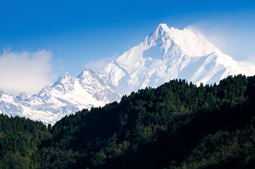
The Eastern Himalayas situated between Central Nepal in the West to Myanmar in the East pass through Sikkim, making it home to the world’s 3rd highest mountain peak, Kanchenjunga, which is worshipped by the locals as their deity. The presence of this majestic mountain has made Sikkim a favorite among adventure seekers, especially mountaineering, trekking and photography enthusiasts.

William Blake, the great 18th century poet, said that great things happen when men and mountains meet. Almost two centuries later, the world saw that come to life!

World’s highest mountain range, Himalayas, is home to 14 peaks higher than 8,000 meters or eight-thousanders as these are commonly called, and till the first half of the 20th century, all of these were unscaled! While the geographical conditions were a major deterrent, political unrest in India, Pakistan, Nepal and Tibet also proved to be one big hurdle!

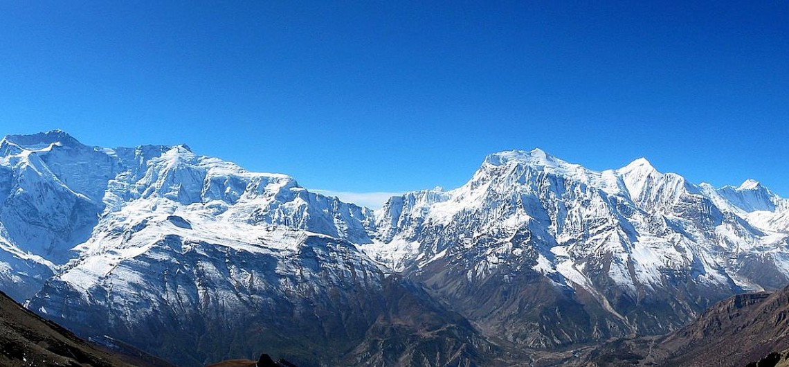
Explore: Mount Annapurna Base Camp Trek

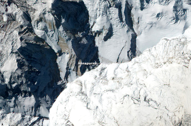
Aerial view of the Annapurna Image credits: Wikipedia.org
Aerial view of the Annapurna
Image credits: Wikipedia.org

But all that was about to change! In 1949, the Maharajah of Nepal gave his consent to a climbing party of nine from France to attempt an assault on one (or more than one) of these peaks. The party, led by experienced French Alpinist Maurice Herzog, arrived in Nepal in the spring of 1950 with plans to attempt either the Annapurna (8091 m) or the slightly higher Dhawalgiri (8167 m).

This was a time when not even the local inhabitants had any knowledge of reaching higher up in those mountains through the thick forests and tough terrain speckled with gorges and ridges. Having spent some time probing for routes and backtracking, in April of 1950, Herzog, his climbing partner Louis Lachenal and the rest of the team realized that they needed to make haste if they wished to climb any of those peaks, since the ideal weather conditions would only last till June. So they zeroed in on Annapurna by the north-western glacier, which seemed like the perfect approach at the time. The next difficult step was the setting up of a chain of 3 camps in higher altitudes. The last and highest camp was pitched at 7407 m. It was already June and the threat of monsoon fast approaching was looming over their heads.

Explore: Annapurna Circuit Trek

Lachenal and Herzog Image credits: Wikipedia.org
Lachenal and Herzog
Image credits: Wikipedia.org 

The gateway to Tons Valley, the quaint and quiet hill station of Mori, noted for its scenic beauty (and its association with Mahabharata folklore), lies on the banks of the River Tons, the biggest tributary of the River Yamuna, and is surrounded by verdant fields of rice and forested hills of pine and deodar (the tallest pine woods in Asia are right here).

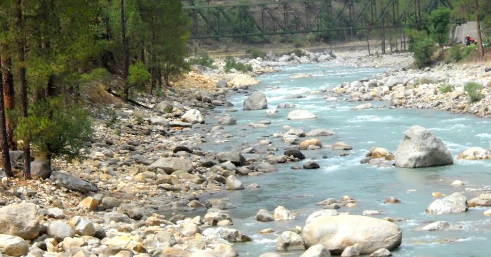
Tons River, Mori region

Straddling the states of Uttarakhand and Himachal Pradesh, Mori, and the hamlets around, make for a pleasant cultural retreat and a perfect get-away-from-it-all holiday. Enjoy the serenity, and some fantastic views of the sylvan surrounds.

Of late, Mori has become a very popular destination for those seeking the unique thrills of whitewater rafting. Mori is also ideal for trekking, camping and birding, besides boasting plenty of floras to make nature walks enjoyable.

Nestled amid the Himalayas, Mori lies in the Tons Valley, to the northwest of Garhwal, in Uttarakhand. It is situated at an altitude of 3770ft (1150m). The River Tons has its source towards the peak of Bandarpoonch (20,720ft, 6315m).

While both the Pandavas and Kauravas held sway here, Mori’s residents, uniquely, are adherents of the Kauravas, the famous anti-heroes of the Mahabharata (who follow polygamy). Some also claim to be descendants of the Pandavas. Legend has it that Tons (called the Tamas in ancient times) was formed by the tears of the local folk weeping over the Kauravas’ defeat to the Pandavas in the great epic.

Here are the top 10 highest mountain peaks in the world.
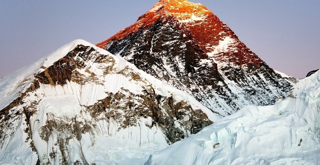
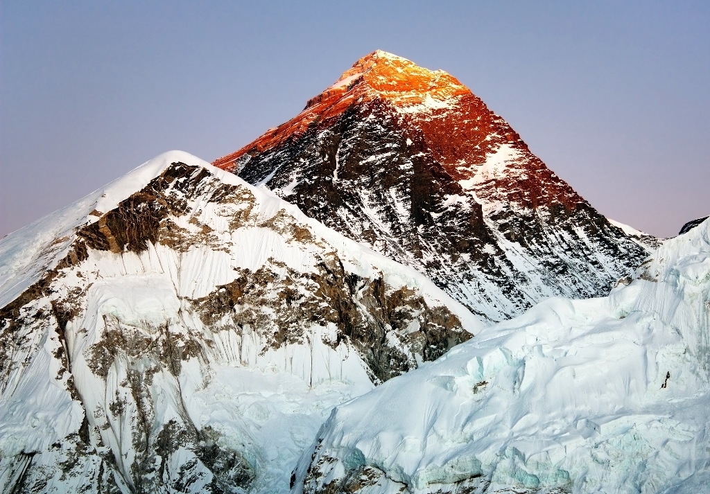
9 out of these 10 lie in the Himalayas, Mount Everest being the highest in the world.

Mountain Peak

Mountain Range

Height (in feet)

First Ascent

Mount Everest

Mahalangur Himalaya

29,029

1953

K2

Baltoro Karakoram

28,251

1954

Kanchenjunga

Kanchenjunga Himalaya

28,169

1955

Lhotse

Mahalangur Himalaya

27,940

1956

Makalu

Mahalangur Himalaya

27,838

1955

Cho Oyu

Mahalangur Himalaya

26,864

1954

Dhaulagiri I

Dhaulagiri Himalaya

26,795

1960

Manaslu

Manaslu Himalaya

26,781

1956

Nanga Parbat

Nanga Parbat Himalaya

26,660

1953

Annapurna I

Annapurna Himalaya

26,545

1950

Mount Everest
Mount Everest – 29,029 feet
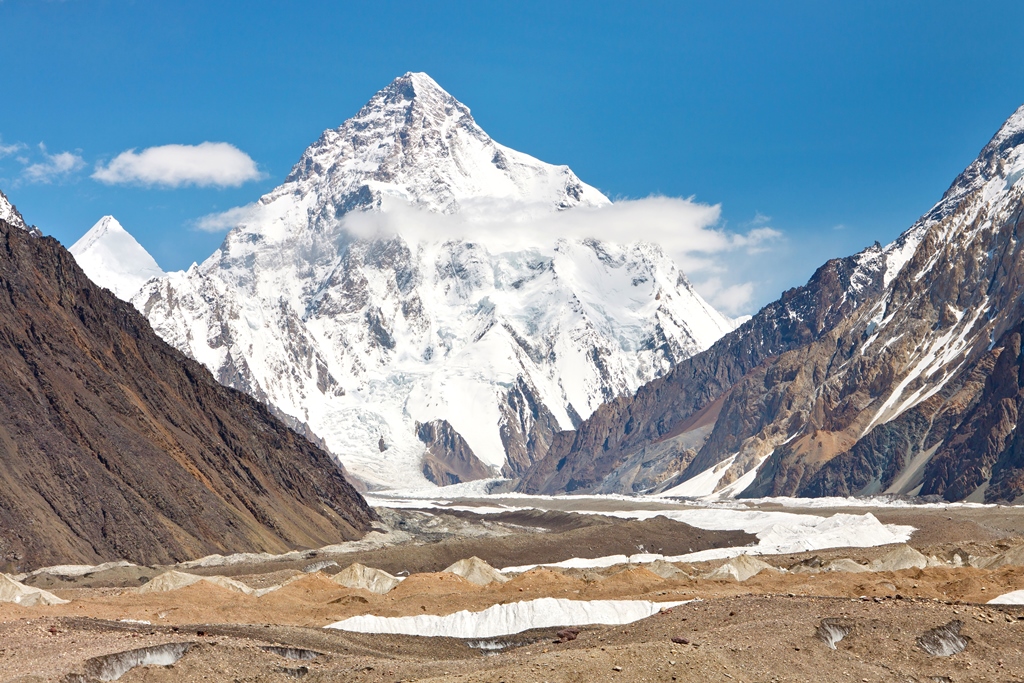
K2
K2 – 28,251 feet
Kanchenjunga
Kanchenjunga – 28,169 feet

Lhotse
Lhotse – 27,940 feet
Makalu
Makalu – 27,838 feet

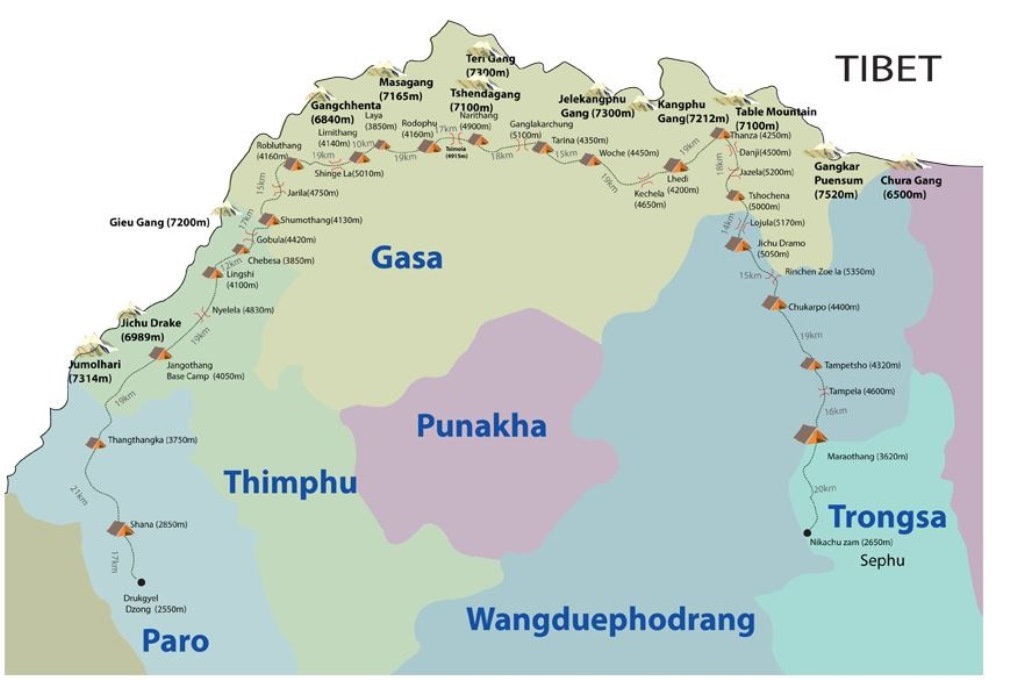
The most difficult in Bhutan and one of the most difficult in the world, Snowman Trek is only for seasoned trekkers. It has been named so for the 6 mountains above 23,000 feet that the trek passes beneath. The first and the foremost requirement is to be fit, physically and mentally. It takes one through Lunana, one of the remotest regions of Bhutan. It starts from Paro valley in Western Bhutan and passes along the Bhutan – Tibet border ending at Sephu Village in Central Bhutan.

Snowman Trek Route
Snowman Trek Route
Image Credits: alpineascents.com

Owing to its high altitude, long distance and difficult terrain, this trek is right on top on the difficulty level scale and takes 25-30 days to complete. Roughly 2 days are required for acclimatization. The expedition crosses 11 high passes including Nye La, Gobu La, Jare La and Shinge La. 9 of these passes are over 15,000 feet.

Sun Temple on the way

This trek offers panoramic views of many Himalayan peaks including the Chomolhari (also called Jhomolhari) and Table Mountain at 24,135 and 23,294 feet respectively. The highest pass on this trek is Rinchenzoe La at approx. 17,493 feet and the highest camp is Jichhu Dramp at 16,600 feet. An average of 17 kms is covered everyday by walking for approximately 6-8 hours. If you wish to go on this trek then the window is a small one, roughly 3-4 weeks in the month of October.

Ladakh lies between the Kunlun mountain range in the north and the Great Himalayas to the south. The region of Ladakh is the most sparsely populated region in Jammu and Kashmir. It is a great place for travel and adventure. There is also a lot to do in terms of tourism. Some of the most popular tourist attractions are:

  • Pangong Lake: This Lake became all the more popular after being shown in the Bollywood film 3 Idiots. It is situated in the Himalayas and is at a height of 14,270 feet. The lake is 134 kilometers long and extends from India into Tibet. Due to the brackish water in the lake, there is low micro vegetation.

    Pangong Lake
    Pangong Lake

  • Dras War Memorial: It is in the memory of all the soldiers who were killed in the Kargil war between India and Pakistan.  The main attraction of the memorial is the sandstone wall which has the names of all the Indian soldiers and officers who were killed in the war.
  • Nubra Valley: It is in a very beautiful location in the north east of the Ladakh valley, about 150 kilometers north of Leh town. It is a cold desert with scanty vegetation expect along the river beds.
    Nubra Valley
    Nubra Valley

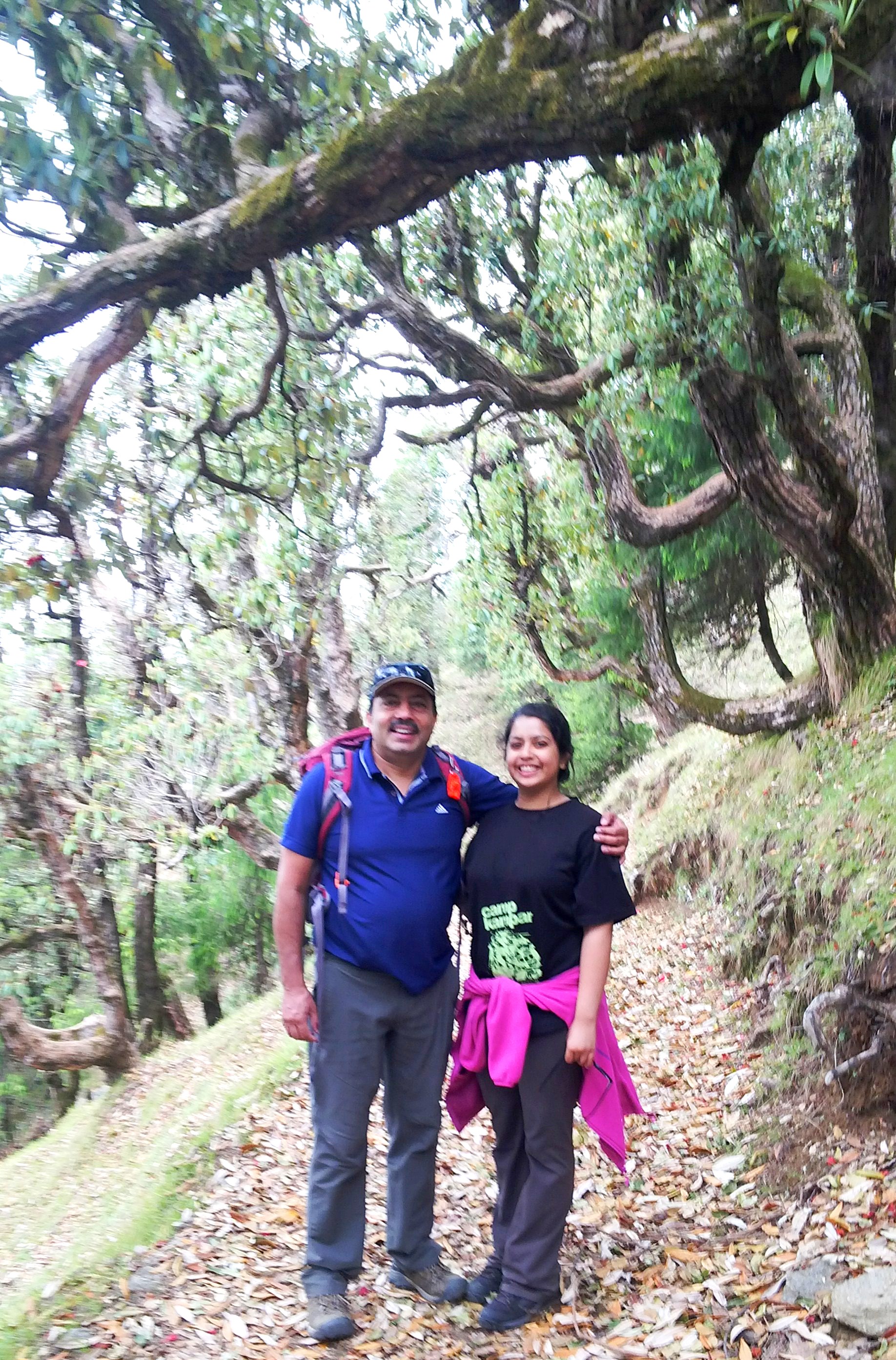
So you know how when normal fathers feel that they want some bonding time with their daughters they take them for a movie or something? My father takes me to climb a mountain.

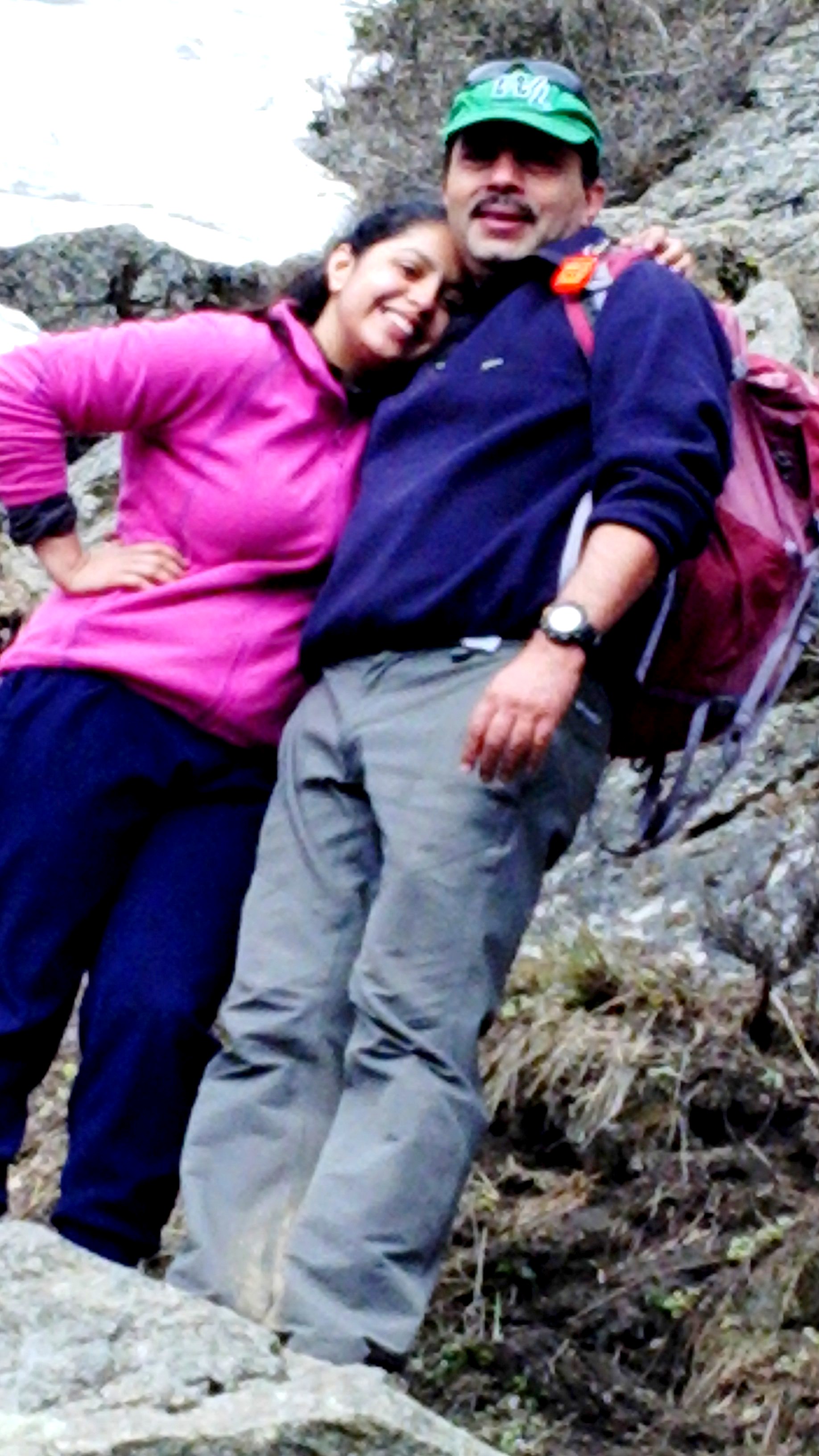
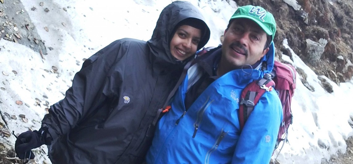
With my dad at the start of the trek 

We were going to climb a mountain called Choor peak which is located in Barog, Himachal Pradesh. Its highest peak is located at a height of 12,000 feet. The entire trek took close to 2 days. We started at 7 in the morning on day 1. It was a bit chilly. We walked for 3 hours before reaching the first tea shop and when we reached it started raining.  The walk till there was slightly steep at places. The first tea shop was located on flat land, with lots of green meadows.  While we waited for the rain to stop, we ate some yummy daal-chawal. Then after about 45 minutes we were ready to go.

Outdoors are the best way to form strong bonds 🙂

Most adventurers would tell you that hiking is the weak sibling of other hardcore outdoor adventure activities. But those who have really experienced some dangerous treks would tell you that sometimes the most serious adventure in the world simply involves putting one foot in front of the other. Here is Adventure Nation’s pick of some of the most treacherous treks in the world:

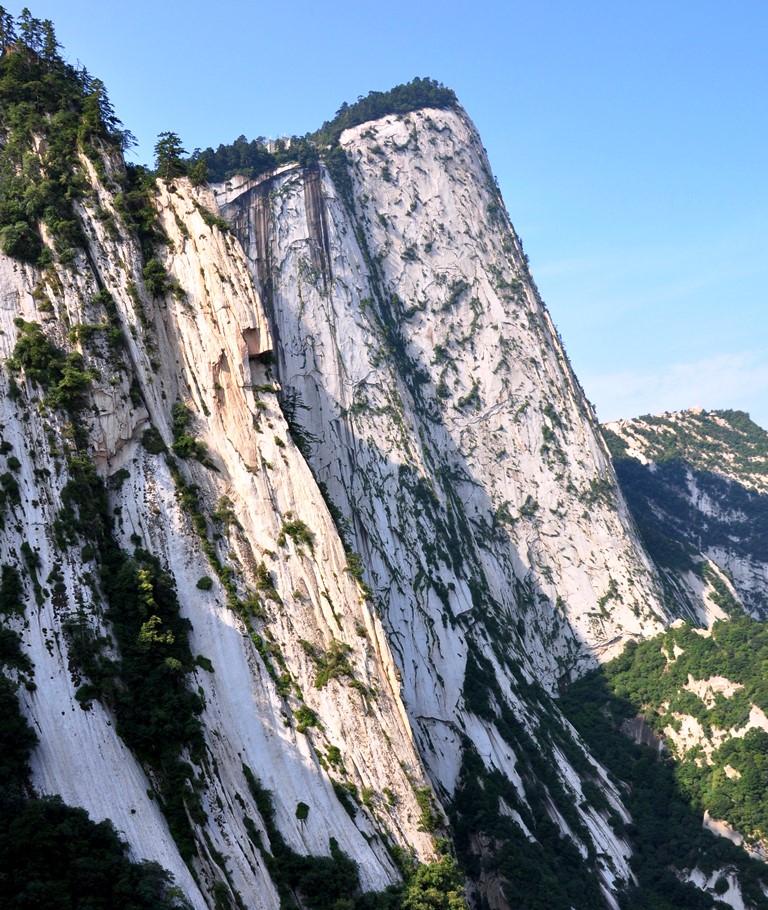
1.       Hua Shan (Mount Hua), China – Even though all the climbs here are treacherous (with nearly vertical stairways) the plank trail to the South Mountain is called the most dangerous hike in the world. It has wooden platforms secured onto the mountainside. Even getting to the trail is tough and consists of a climb up a vertical rebar staircase. At one point, the planks altogether vanish and hikers have to use small cavities carved into the rock.

Hua Shan
Hua Shan

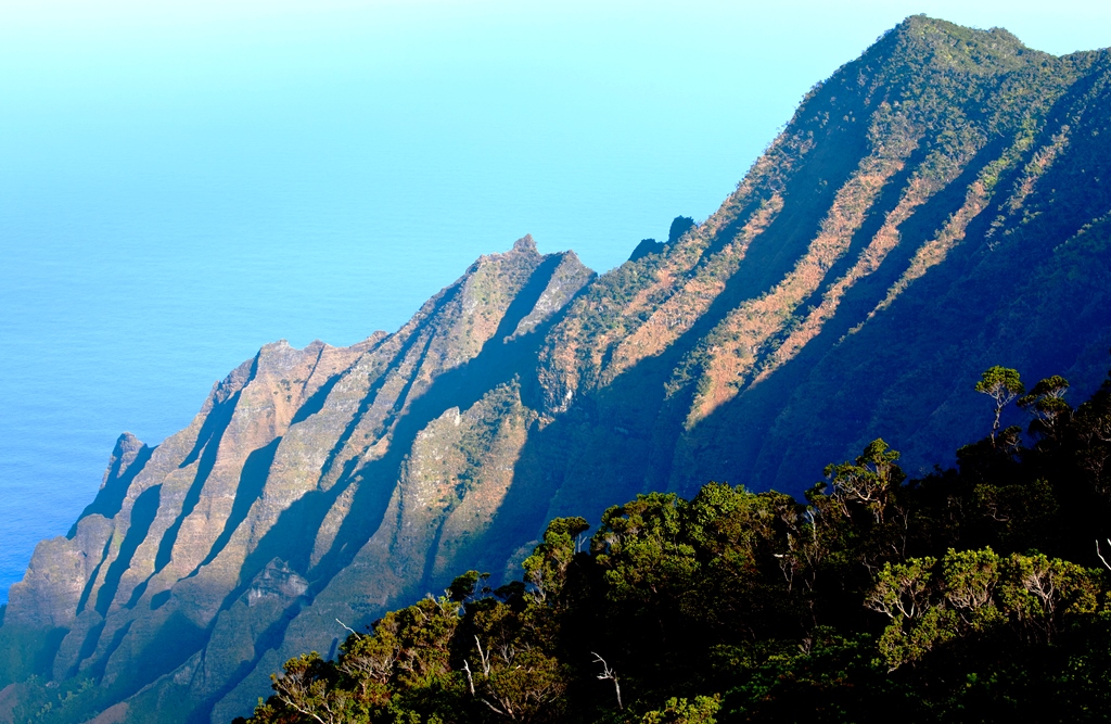
2.       Kalalau Trail, Kauai, Hawaii – At its best, the Kalalau Trail along the Na Pali Coast in Hawaii is an remote jungle with steep volcanic slopes and a pristine undeveloped beach at the end. But the 22-mile round-trip hike can turn treacherous quickly. The path’s three major stream crossings can flood during monsoon, and falling rocks, especially around waterfalls, are always a concern. More than 100 people have lost their lives while swimming on the trail’s isolated beaches, and the transient community living on the shore can be hostile.

Kalalau Valley Trail
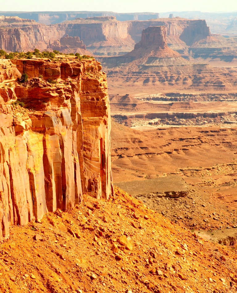
  • 3.       The Maze, Utah – About 2,000 people visit the most remote section of Canyonlands National Park per year, and not because it is not worth visiting. Known as the Maze, this red rock labyrinth is difficult to reach and almost impossible to navigate. To make it even more difficult it is full of dead-ends and always presents the danger of rock-falls or deadly flash floods.
    The Maze
    The Maze

Known as a soft adventure today, hiking is as old as humanity itself. In the past, people hiked miles and miles in search of food, shelter and new settlements. In this process many new lands were discovered and popular hiking trails established. Now we go hiking for leisure and thrill and the world is full of some wonderful hiking trails. Adventure Nation  has prepared a list of some of the most amazing ones:

  1. Inca Trail, PeruCrossed by 1000s every year, this ancient trail was laid out by the Incas. It leads up to Machu Picchu winding up and down the mountains.

    Machu Picchu in the Inca Trail
    Machu Picchu in the Inca Trail

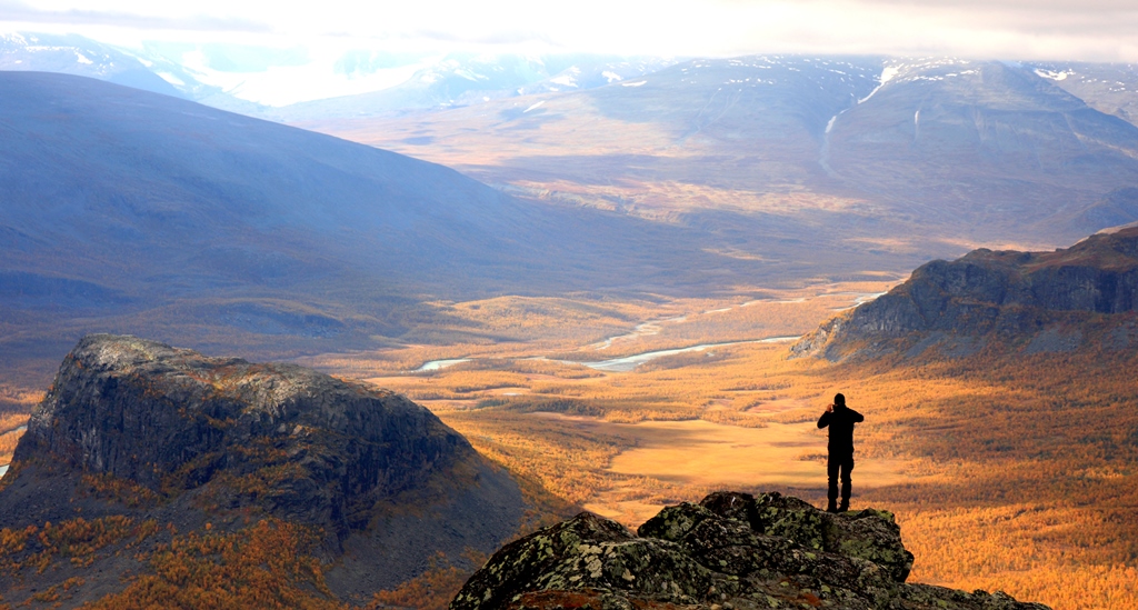
  2. Kungsleden, Sweden – Kungsleden (the “The King’s Trail”) is a 100 miles inside the Arctic Circle. It’s a 275 – mile trail and one of the greatest wildernesses in Western Europe.

    The King’s trail, Sweden

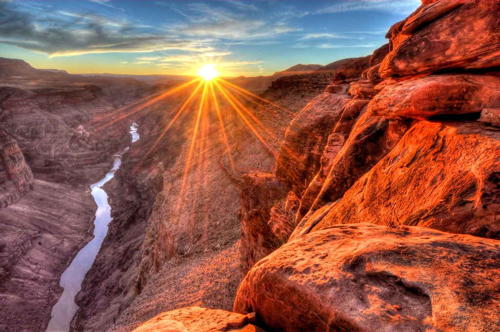
  3. Grand Canyon Hike, Arizona– This hike offers the best natural architecture one could ever come across along with billions of years’ worth of geology.

    Grand Canyon, Arizona
    Grand Canyon, Arizona

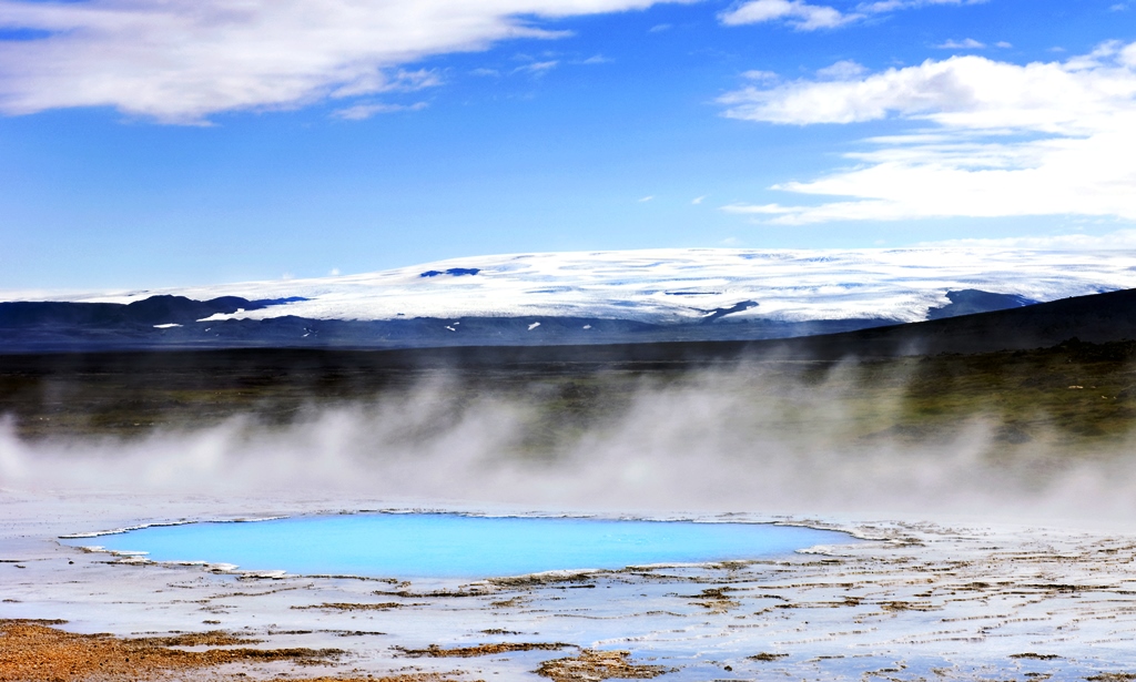
  4. The Hot Spring Route, Iceland– From Landmannalaugar to Thorsmork in the South of Iceland, this 4 day hike has rivers, lakes, mountains and glaciers in its scope.

    Iceland
    Hot Springs, Iceland

  5. Fitz Roy Trek, Patagonia, Argentina – Fitz Roy Massif is an iconic ridge that makes for an amazing hike taking one from glaciers to forests to waterfalls!

Uttarakhand literally translates to the abode of the Gods. It is considered a paradise for trekkers, adventure buffs and nature lovers. Whether one is an experienced trekker or a first timer, there is a trek for everyone.

For all those who love the beauty and tranquility of the mountains and crave to reach new heights of adventure, here is Adventure Nation’s pick of the best Himalayan treks in Uttarakhand:

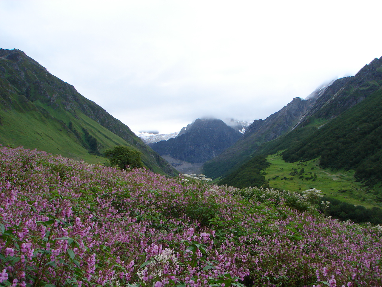
Valley of Flowers and Hemkund Sahib Trek – Duration – 06 days
The base camp for this trek is at the small village of Ghangariya which is located by the river Lakshman Ganga. The Valley of Flowers is approximately 5 kms from this village. There is also the famous Govind Ghat that got its name from the time Sikh Guru Guru Gobind Singh meditated here. A steep trek from Ghangariya leads one to the heavenly Hemkund Lake that stays frozen for almost 8 months in a year. Hemkund Sahib Gurudwara and Lakshman Temple are built on the banks of this lake. This trek is particularly popular for the variety of flowers one gets to witness in the valley.

Valley of Flowers

Valley of Flowers
Image Credits: bharatrawat641.blogspot.in

Har Ki Doon Trek  – Duration – 08 days
Considered a haven for bird watchers and nature lovers, Har Ki Doon trek gives one a great opportunity to explore the remotest parts of the Garhwal Himalayas. The base camp for this trek is Sankri which is about 37 kms from the highest camp on this trek. Har Ki Doon literally means the Valley of Lord Krishna and is surrounded by dense forests of pine, deodar and conifer. It is believed that the Pandavas camped here on their final journey.

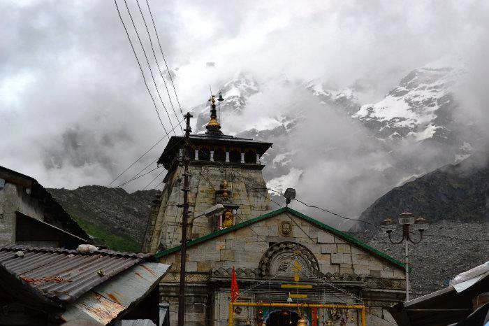
Situated in the Western Himalayas, Kedarnath Sanctuary is located in the Chamoli and Rudraprayag districts of Uttarakhand. A part of the Himalayan Highlands, it has an elevation ranging from 3,810 ft to the Chaukhamba peak at 23,189 ft. It gets its name from the famous Kedarnath Temple that was built in the 8th century AD. It is just outside the northern border of the sanctuary.

Kedarnath Temple Image Credits: photos.wikimapia.org
Kedarnath Temple
Image Credits: photos.wikimapia.org

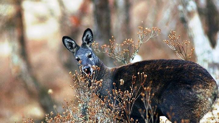
Covering an area as 975 sq km, it is the largest protected area in the Western Himalayas. It was formally established in 1972, primarily to protect the Himalayan musk deer and because of that it is also called the Kedarnath Musk Deer Sanctuary. It has been designated a “Habitat/Species Management Area” by the IUCN.

It is popular for its great biodiversity, picturesque snow-covered mountains, lakes, glaciers, valleys and the glistening Mandakini and Alaknanda Rivers. It’s often called one of the most beautiful sanctuaries in India. The density of the flora changes with the elevation – from sub-alpine forests to alpine shrubs, Himalayan flowers to permanent snow lines with little or no vegetation.

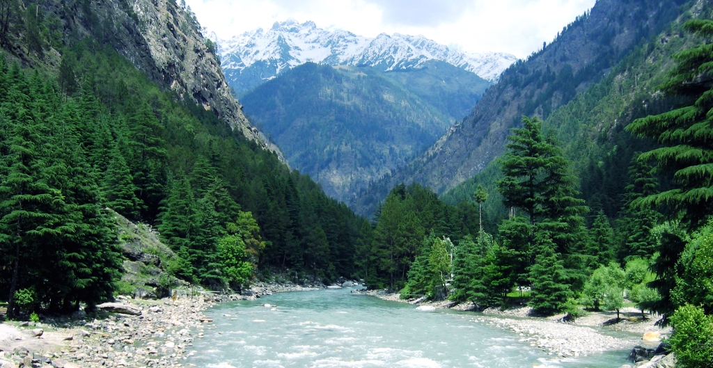
The mighty Himalayas

For eons India has been the home of spirituality, yoga, tradition, history and cultural diversification. People from all over the world have visited this great land for trade, knowledge, and spiritual freedom. A multitude of cultures have found their way right to the country’s heart over many centuries.

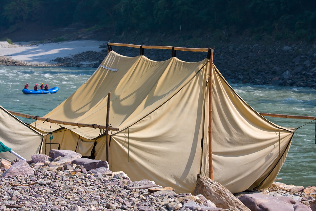
Camping at Rishikesh

In addition to being rich in history and culture, India is also a land of varied landscapes. From mountains to beaches to valleys and rivers, you can find it all here. Himalayas along with the many rivers that flow from it, dominate the topography of the north. There are also many National Parks all across the country teeming with tigers and other animals, which make for great wildlife safaris.

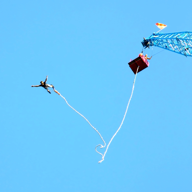
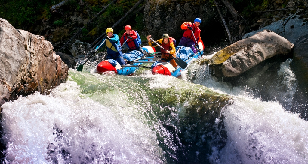
Himalayas attract mountaineers and adventure buffs from all over the world. It offers plenty of scope for trekking, paragliding and skiing and some serious mountaineering. River Ganges is one of the most popular rafting destinations in India. Rishikesh in the foothills of the Himalayas is the ultimate destination for rafting, kayaking, bungee jumping and zip lining.

Bungee jumping in Rishikesh

Rivers Kundalika and Kali in the west and south respectively are also popular spots for rafting. Maharashtra in the west is another adventure hub that offers rafting, rock climbing and rappelling, trekking, paragliding and hot air ballooning.

Rafting in India
Rafting in India

In addition to all this, the Thar Desert in the west is the perfect place for a desert safari  where one can experience life amidst the vast expanses of sand.

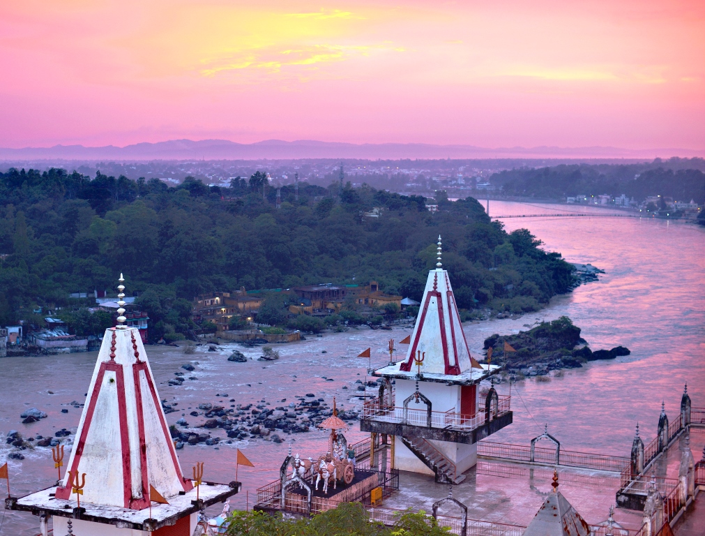
For centuries Rishikesh  has been the undisputed Yoga capital of the world and people from all over the world seeking spirituality have found their way to this ancient and holy town. It is located in the northern part of the Indian State of Uttrakhand, on the banks of the Ganges River and is surrounded by hills on 3 sides. People flock here for practicing meditation, learning the techniques of Yoga and sometimes just for the peace of mind that it offers.

Rishikesh - Where Gods reside!
Rishikesh – Where Gods reside!

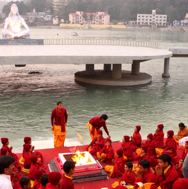
The Beatles made it even more popular in the 1960s when they stayed at the ashram of Maharishi Mahesh Yogi. It is also home to the 120 year old Kailash Ashram Brahmavidyapeetha, an institution that has been dedicated to promoting and conserving the traditional Vedic studies and had the likes of Swami Vivekananda has one of the students. There are many more Ashrams in Rishikesh where the traditional “Guru-Shishya Parampara ” is being followed.

Students of one of the Ashrams praying at the banks of the Ganges

In the last 10-15 years, Rishikesh has also earned another name, that of being the Rafting Capital! The shores are lined with camps that make for a great retreat and offer a host of activities for the adventure seekers. It has become an extremely popular spot for white water rafting and on a must visit list of most adventure buffs. Ganges River offers medium to rough rapids, rated class 3 and class 4.

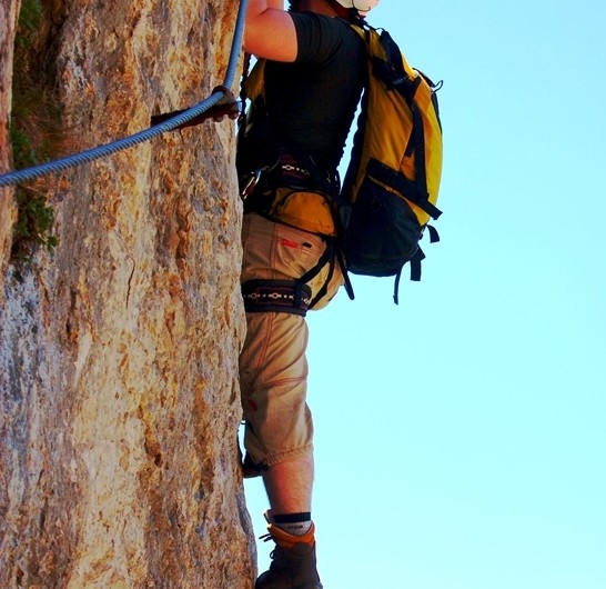
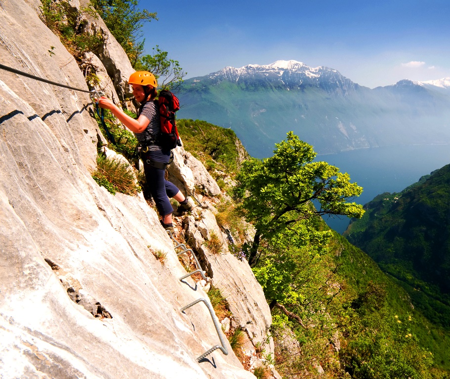
What it means – A Via Ferrata or Iron Way or Iron Roads is a fixed protection climbing path or route found primarily in the Alps. The term originates from the Dolomites mountain range in Northern Italy.  Its core is a steel cable that runs along the path and is sporadically fixed to the rock. Climbers secure themselves to the cable and also use the cable as a climbing aid. Other climbing aids include pegs, carved steps, iron rungs and sometimes bridges and ladders. It makes an otherwise unsafe route relatively easy. Even those with very less or no climbing experience get the chance to reach places otherwise only accessible to avid mountaineers. All you need is some basic equipment and technique coupled with the will to do it!

Climbing with the help of iron rungs.

Origin and History – Simple paths with basic protection aids and ladders have been there in the Alps for centuries. These paths helped the natives connect to the high pastures. These constructions date back to the early nineteenth century, during the time of the early Alpine exploration, and can be considered as a harbinger to the modern day Via Ferrata. Via Ferratas are also strongly linked to the First World War when, to assist the movements of the troops, many of them were constructed by the Italian Army on the Dolomite Mountain range in northern Italy. This was primarily to access difficult peaks and to also carry heavy equipment.

Development – Via Ferrata is a new adventure activity and is often tried by people looking for something slightly more challenging than the routine alpine hiking and climbing. Many new paths have been developed over the years, especially recently and their tourism benefits recognized. They have gained popularity amongst serious climbers and amateurs alike. Traditionally associated with the limestone mountain regions in Italy, Via Ferratas have found their way to other mountain ranges outside Europe too. There are more than 1000 Via Ferratas in the world today, majority in the Alps.

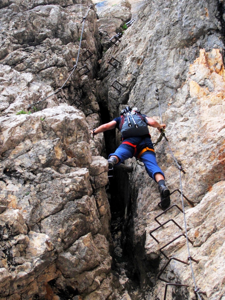
Via Ferrata - Dolomites
Via Ferrata – Dolomites

Safety and Equipment – Via Ferratas were primarily climbed using basic equipment like carabiners or slings attached to a rope or harness. However it was soon realized that these did not provide much safety or prevent serious injury. To resolve this, many devices have been developed that act as shock absorbers. These are aimed at dispelling energy of the fall efficaciously, keeping the climber safe. A Via Ferrata set contains a lanyard and two carabiners. The lanyard comprises of an energy absorbing system, two arms that connect to the cable and a way of connecting to the harness, forming a “Y”. It’s called a Y tape configuration and is the only type to be approved by the UIAA. It is safe and simple.

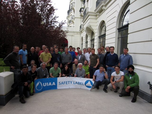
One of our Adventure Nation Gurus, Amit Chowdhury is an esteemed member of the UIAA.

Adventure Nation Guru Amit Chowdhury with the other UIAA members at Chamonix, France
Adventure Nation Guru Amit Chowdhury (Sitting – extreme left) with the other UIAA members at Chamonix, France

Grading and Types – Via Ferratas vary in length and difficulty levels, from under one hour short tours to long and demanding alpine routes at high altitudes that can take 8-10 hours to finish! These routes can sometimes be just simple paths in spectacular surroundings to very steep and dangerous treks. These definitely require the strength, if not the technique, of serious rock climbing. There are numerous grading systems that exist today and most focus on the difficulty level of the toughest passage, using a 5 or 6 point scale. The Kurt Schall guides use an A to E 5 point scale.